Data Day Reflection: NYC Public Space App
This summer, we hosted our first Data Day: an in-person meet-up for like-minded individuals passionate about the intersection of urbanism and civic technology in the community advocacy space. This inaugural event highlighted the NYC Public Space App (iOS/Google), a new project by technologist Chris Whong that allows users to both explore public spaces across the five boroughs in one easy-to-use mobile-based map and contribute photos and descriptions to help build an even more comprehensive guide to New York City’s publicly accessible areas.
We gathered together on a sunny August afternoon at Brooklyn Public Library’s Greenpoint Branch, which maintains an Environmental Education Center, a hub for environmental awareness, activism, and education in the community. We were excited to collaborate with the Greenpoint Library and Education Center staff Acacia Thompson and Julie Pienkowska, who provided much appreciated insight on activism and ecology in Greenpoint and Williamsburg.
Kicking off the event, Chris discussed his work as a technologist, how the project came to be, and the use of civic technology in public space advocacy. He shared his process of navigating and consolidating the different datasets used to develop the map as well as some of the decisions he made about the user experience. Some unconventional spaces, like schoolyards that are publicly accessible outside of school hours and pathways created through developer incentives, are not immediately evident on mainstream services like Google Maps and, even in person, can be difficult to recognize as the public resource that it is.
-
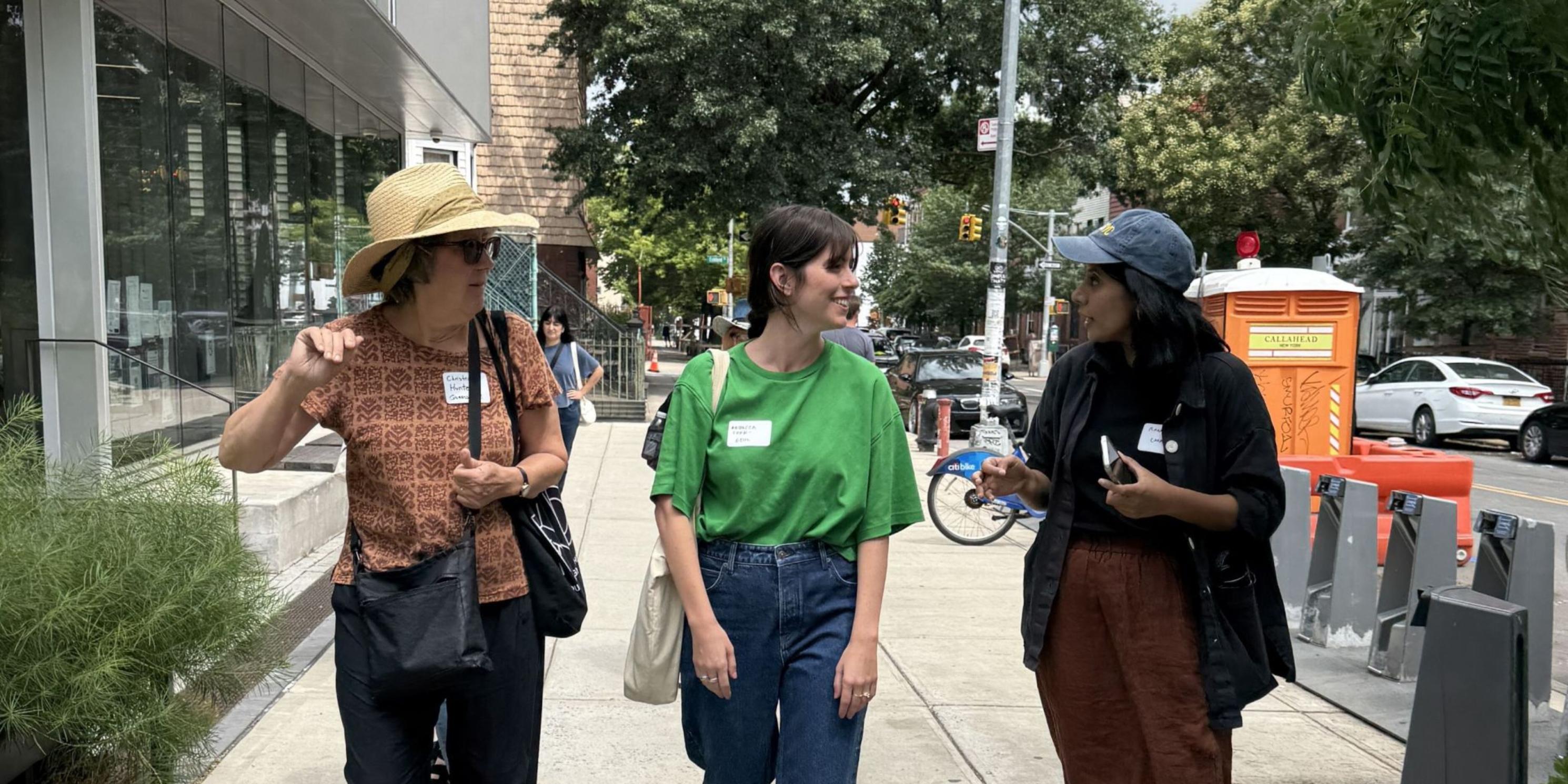 Attendees and MAS staff member Ranna Zaman exploring Greenpoint on Data Day in August 2025. Photo: Keri Butler.photo 1 of 5
 -
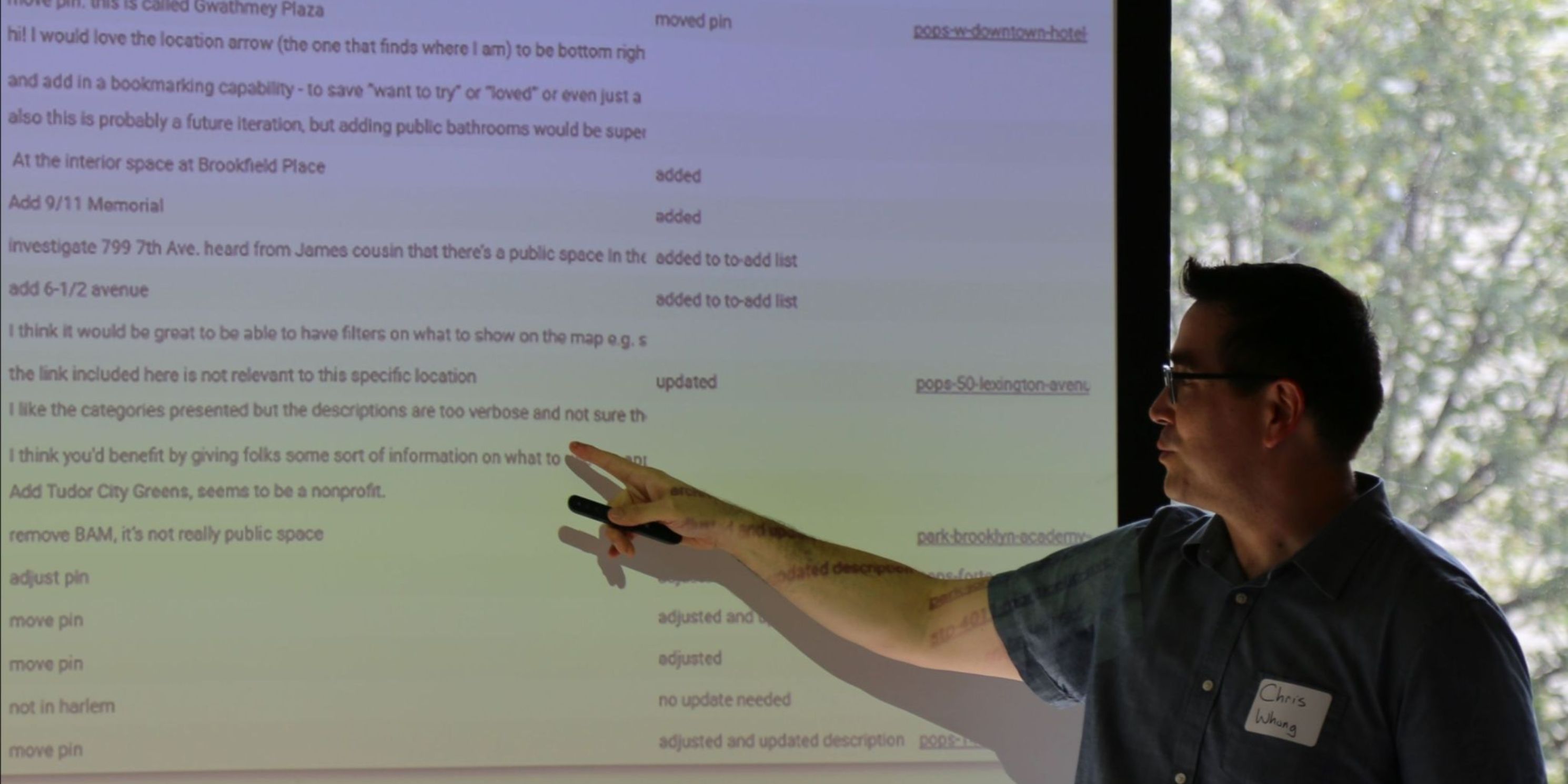 NYC Public Space app creator, Chris Whong, discussing how he created his app. Photo: Genevieve Wagner.photo 2 of 5
 -
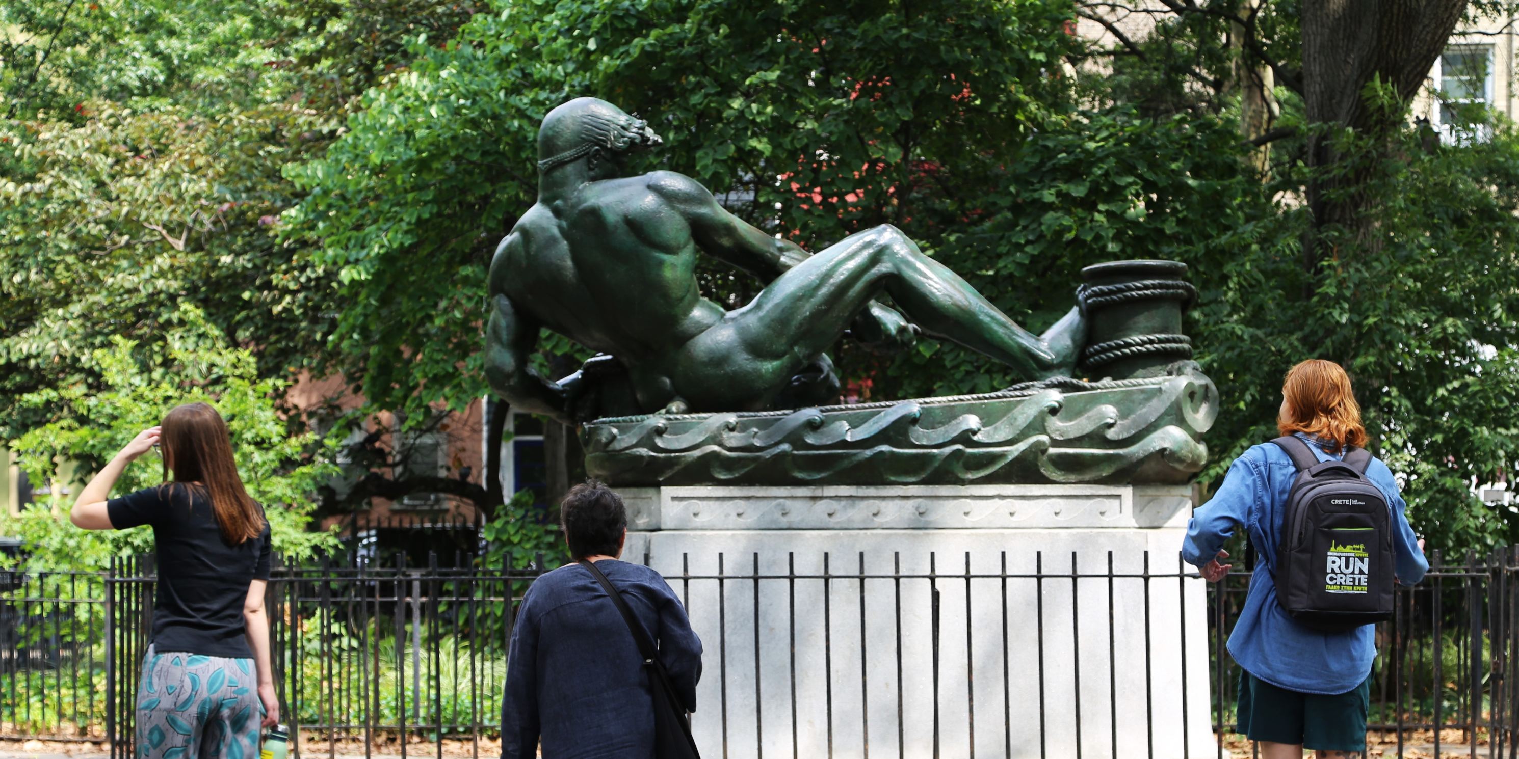 Attendees exploring Msgr. McGolrick Park at Data Day in August 2025. Photo: Genevieve Wagner.photo 3 of 5
 -
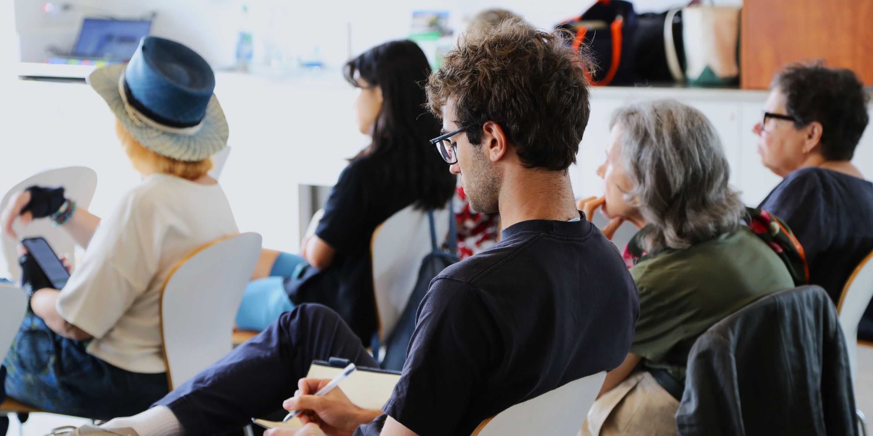 Attendees taking notes during Data Day in August 2025. Photo: Genevieve Wagner.photo 4 of 5
 -
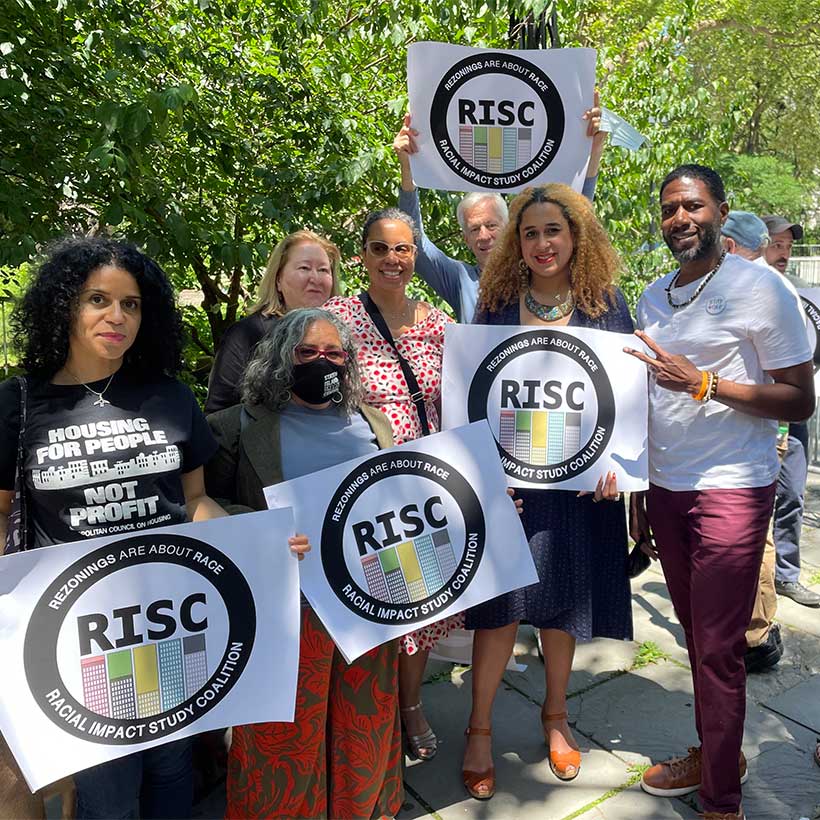
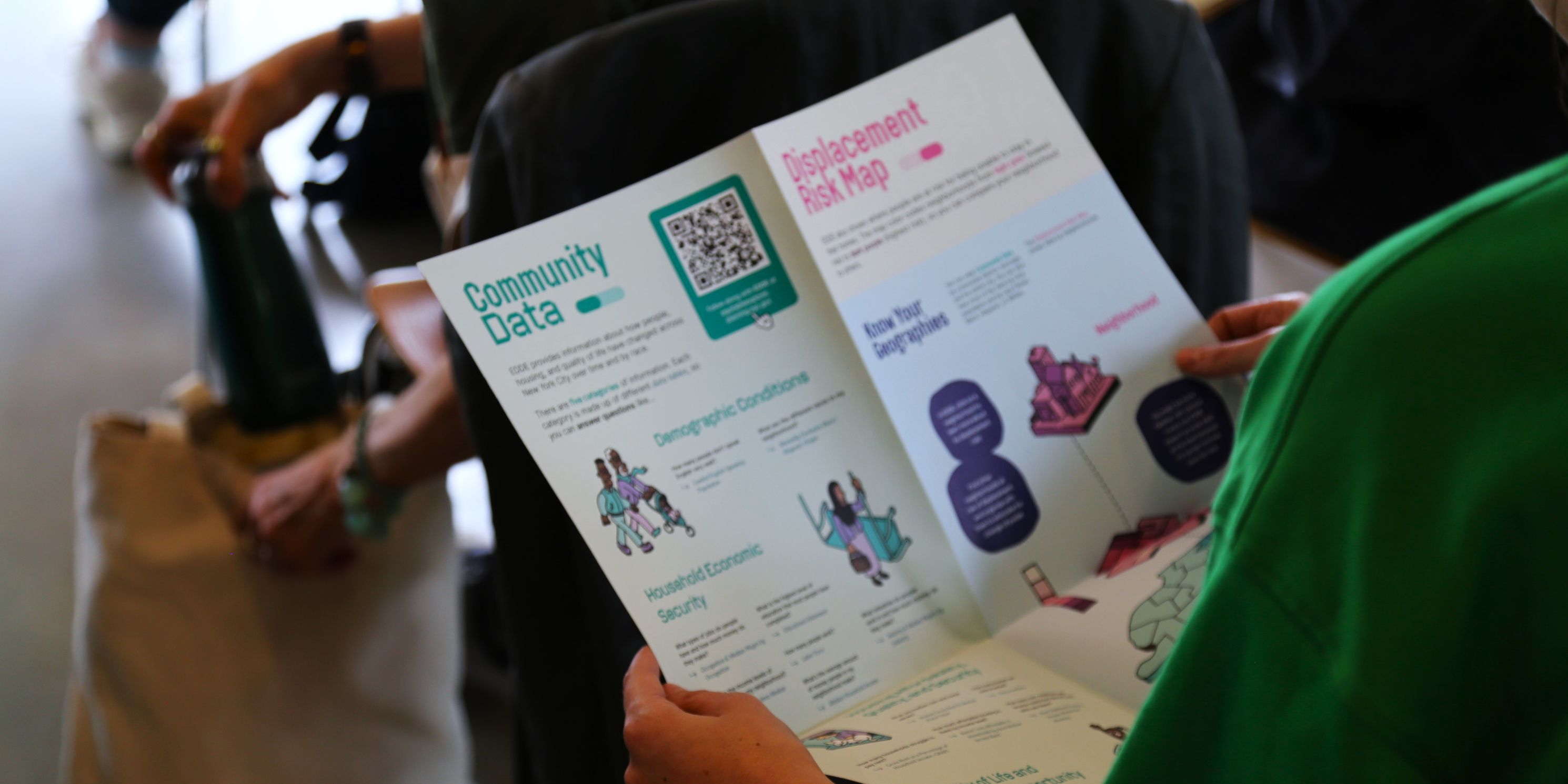 An attendee reading Stories + Data = Power, an informational printout about the Equitable Development Data Explorer (EDDE), created by the Center for Urban Pedagogy (CUP) and Racial Impact Study Coalition (RISC), which MAS is a part of. Photo: Genevieve Wagner.photo 5 of 5
Attendees then broke out into groups to explore Greenpoint and Williamsburg using the app. Groups trekked to Bushwick Inlet Park, Newtown Creek, Msgr. McGolrick Park, beneath the Brooklyn -Queens Expressway, and many smaller public spaces in between, reflecting on the characteristics, accessibility, and quality of these spaces. Back at the library, MAS staff members Rawnak Zaman and Genevieve Wagner facilitated a group reflection on the important observations uncovered about how public space is accessed, maintained, and made known to the public (visualized in the interactive map below!). We ended the day with a tour of Greenpoint Library’s rooftop demonstration garden, where library staff hold regular programming and even grow some produce.
Hover over the yellow asterisks to check-out reflections from event attendees!
It was special to gather fellow advocates and neighbors together to use an exciting new tool and zero-in on how public space operates within one New York City microcosm. Here at MAS, we look forward to continuing to use the NYC Public Space App to make observations and collect data about the important assets that are our public spaces. The more people who contribute to this app, the more comprehensive it becomes. We encourage community members to use this app along with the NYC Parks and Recreation’s Vital Parks Explorer to find and evaluate open space in their neighborhoods and advocate for equitable parks access. And in the future, we hope you can join us for another Data Day event, somewhere in the five boroughs.
Explore Air Rights, Climate Risks, and more through our mapping projects.
Related News + Reports