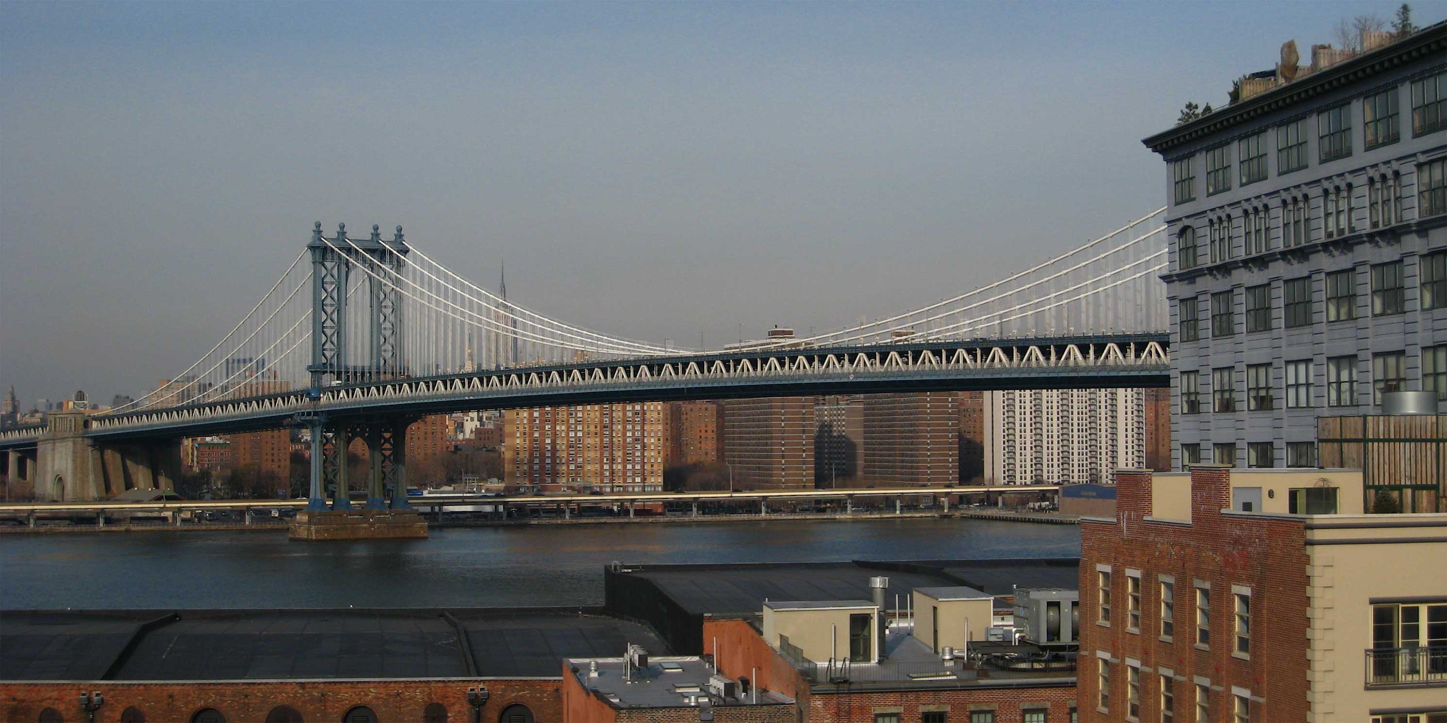
This walk focuses on the oft-understudied history of Brooklyn’s water supply during its time as an independent city. Unlike New York City pre-consolidation, Brooklyn couldn’t go north for its water (though it tried, kinda — we’ll get into it). Instead, they went east, through what is now Queens and Nassau Counties all the way out to Massapequa. This walk will include stops key to the development of those sources of supply, and what came later as Brooklyn grew and, eventually, became one of the five boroughs. Note: this walk includes a short (three-stop) trip on the C train.
This walk is sold out, but the waitlist is open.
Accessibility
The walk will begin closest to the 2/3 at Clark Street, the A/C at High Street, and the Dumbo/Fulton Ferry landing of the NYC Ferry system, along with the B25, B67, and B69 buses (and nearby Citibike docks). The closest accessible station to the start of the walk is Jay Street/Metrotech (A/C/F/R).
The walk will include a trip from Jay Street-MetroTech to Clinton-Washington Avs on the C train; the closest accessible station to Clinton-Washington is Franklin Avenue, and is also adjacent to the B25 and B26 buses.
The walk will end nearest to the 2/3 (equidistant between Grand Army Plaza station and the accessible Eastern Parkway-Brooklyn Museum stop), the Q at 7 Av, and the B41 and B69 buses (along with more Citibike docks).
Location Information
RSVP is required and capacity is limited. Meeting location, ending location, and directions will be provided via email before walk date.
guided
Saturday, May 3, 20256:00 PM
2 hours
Borough: Brooklyn
Theme: Environment, History & Culture
Language: English