Waste Not, Want Not: Creative Resilience in South Slope

Janes Walk

Led By Alyssa Fridgen, Independent Curator/Art Historian, Affiliate of Open Source Gallery

Explore the rich industrial and cultural history of the South Slope community through its buildings and community spaces. Once a center of production for materials such as paint, cast stone, ironworks, tin, and ink, now a thriving arts and cultural community employing some of the very same materials that fueled its development. Along with 19th century industry came a demand for social services such as libraries and schools, planting the seeds of community activism still present in South Slope today. Learn how the stunning architectural styles for which South Slope is known reflect the history of the area. Hear stories of resilience in transforming waste into scenic gardens and other creative projects. Visit community organizations and thriving independent-owned businesses preserving the creative soul of the community.

Accessibility

South Slope is accessible by train (a 10-15 minute walk from the F or R stations), CitiBike, and car. Both the Gallery and KoKo Lot are accessible from the sidewalk, and the walk will primarily be via sidewalks and walkways. The walk is relatively long (90 min-2 hours) and includes hills.

Location Information

RSVP is required and capacity is limited. Meeting location, ending location, and directions will be provided via email before walk date.

guided

Saturday, May 3, 2025
1:00 PM
2 hours

Borough: Brooklyn
Theme: Art & Architecture, History & Culture
Language: English
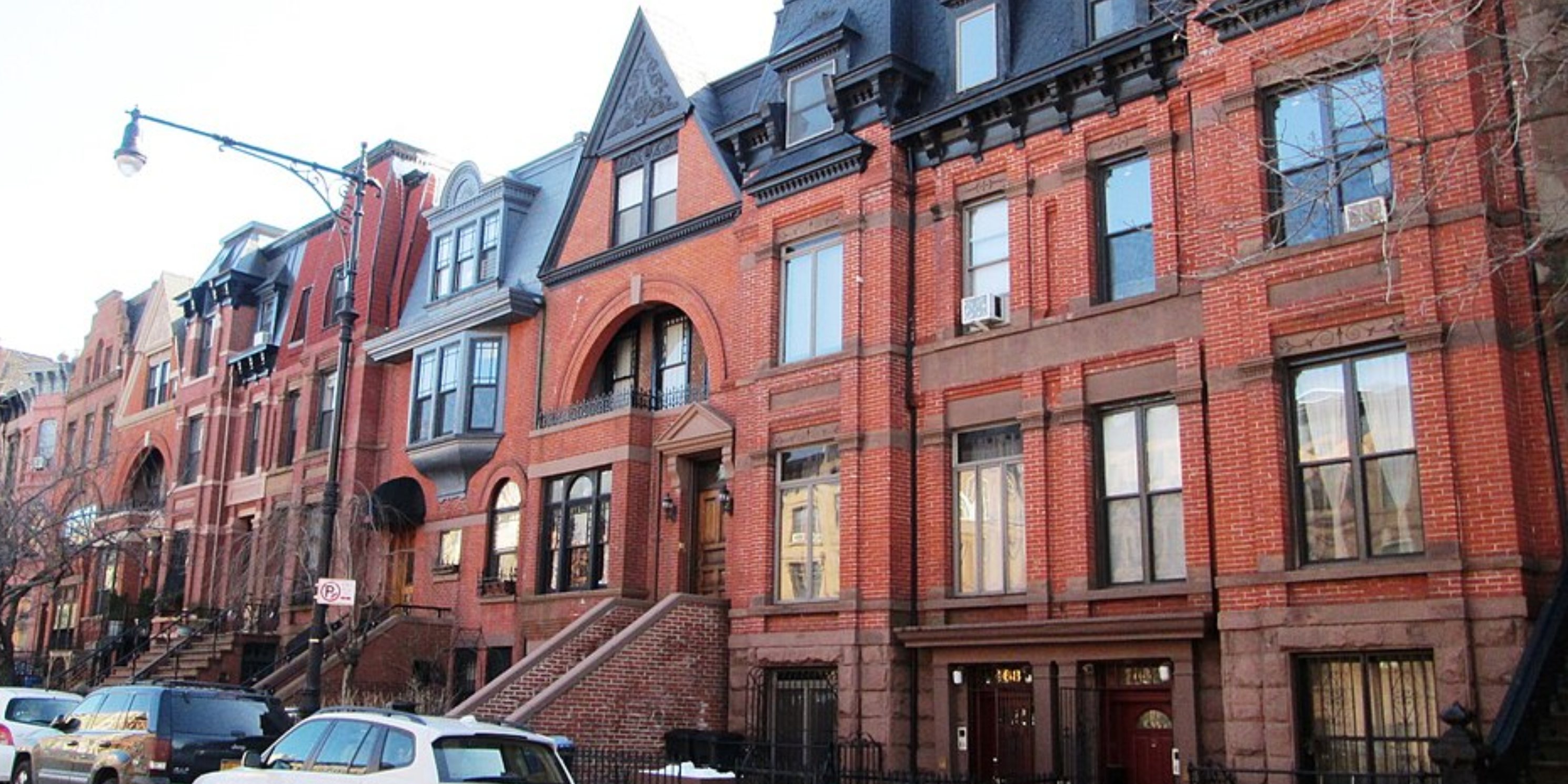
The Queen Anne style townhouses at 466-480, 488-492 and 500-502 9th Street between Seventh and Eight Avenues in the South Slope neighborhood of Brooklyn, New York City were built c.1881 (466-480) and c.1891, and were designed by L. Pearson (466-480) and J. R. Schonover. They sit in clusters surrounded by neo-Grec brownstones, and are located in the Park Slope Historic District Extension. (Sources: AIA Guide to NYC (5th ed.) and "Park Slope Historic District Extension Designation Report") This image shows 466 (right) - 480 (left) from the west. Photo: Wikimedia Commons, Beyond My Ken. Modifications: cropped.