Greener Corridors for a More Resilient City
Reimagining NYC's major streets with safety and sustainability in mind
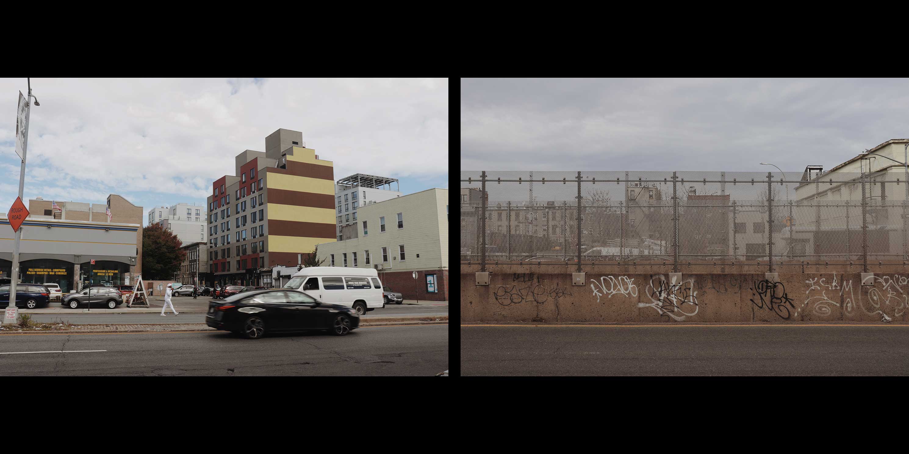
Vast traffic arterials such as Atlantic Avenue in Brooklyn, Boston Road in the Bronx, and Northern Boulevard in Queens have an outsized impact on New York City. They snake their way through every one of the city’s 189 residential neighborhoods, affecting the majority of the city’s residents who live within walking distance of these thoroughfares. They comprise nearly a quarter of the 6,300 miles of city streets, equivalent to the distance from New York City to Houston. Sixty percent of all pedestrian fatalities have occurred on New York City’s arterials in some years despite these thoroughfares being a fraction of all streets. The amount of paved roadbed belonging to New York City’s arterials is equivalent to more than 10 Central Parks, a stark reality in a city whose land is more than 70 percent impervious.
In the early 2000s, the City began a push to improve these roads through measures such as new bus and bike lanes, lower speed limits, and more street trees. Despite significant and impactful efforts, dozens of these major roadway corridors across the five boroughs remain unsafe, unhealthy, inefficient, and unsustainable. Vehicles speed, pollute, and jostle in a street space free-for-all; desolate asphalt and concrete expanses are hot and impermeable; and automobile-oriented land uses like single-story drive-throughs and surface parking lots make for an unpleasant and uninviting pedestrian experience where public and private realms meet. Many arterial roadways continue to exemplify historic planning efforts that divided communities, displaced families, and negatively affect residents’ health.
Through a series of articles, conversations with professionals, policymakers, and community members, and advocacy around City policies and projects, Greener Corridors seeks to flip the script on these corridors. Considering the term “greener” through a wide lens, it asks: rather than neighborhood barriers and spaces to avoid, how can the city’s largest roads be models of sustainability, public health, social cohesion, and equity among communities along their paths? And, critically, how can it happen without displacing the very people who would benefit most?
-
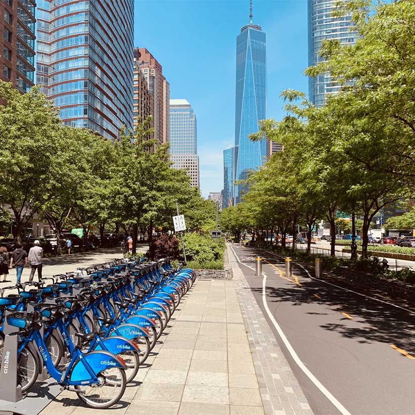
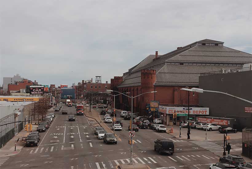
 Atlantic Avenue, Brooklyn. Photos: Kade Van Meeteren.photo 1 of 4
 -
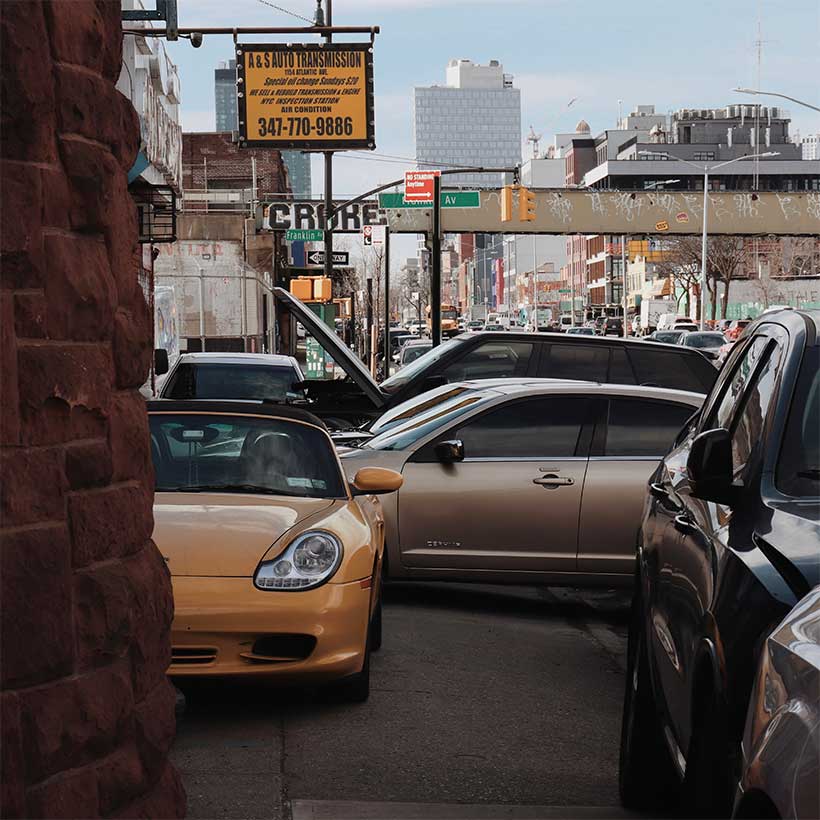
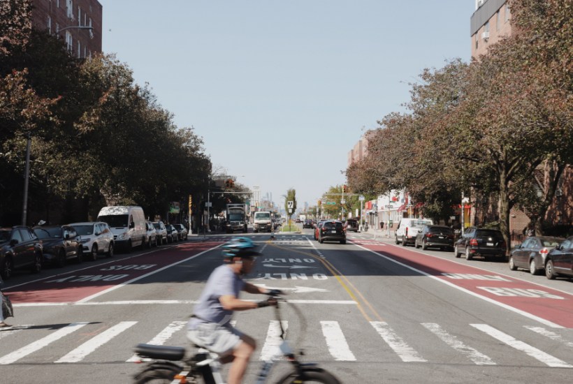
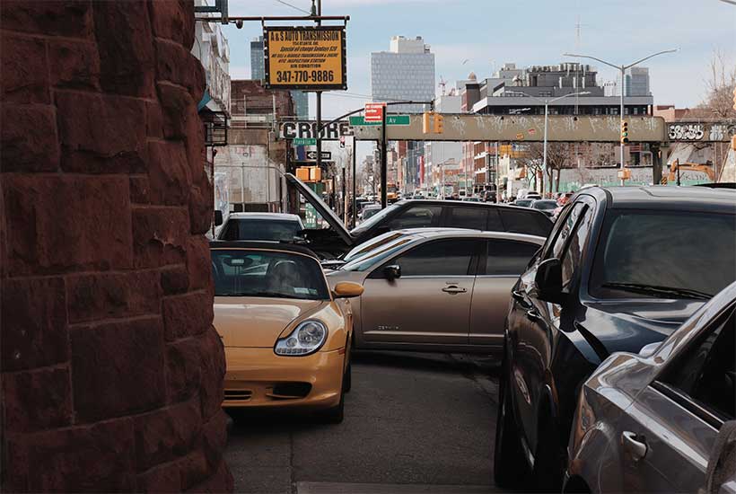
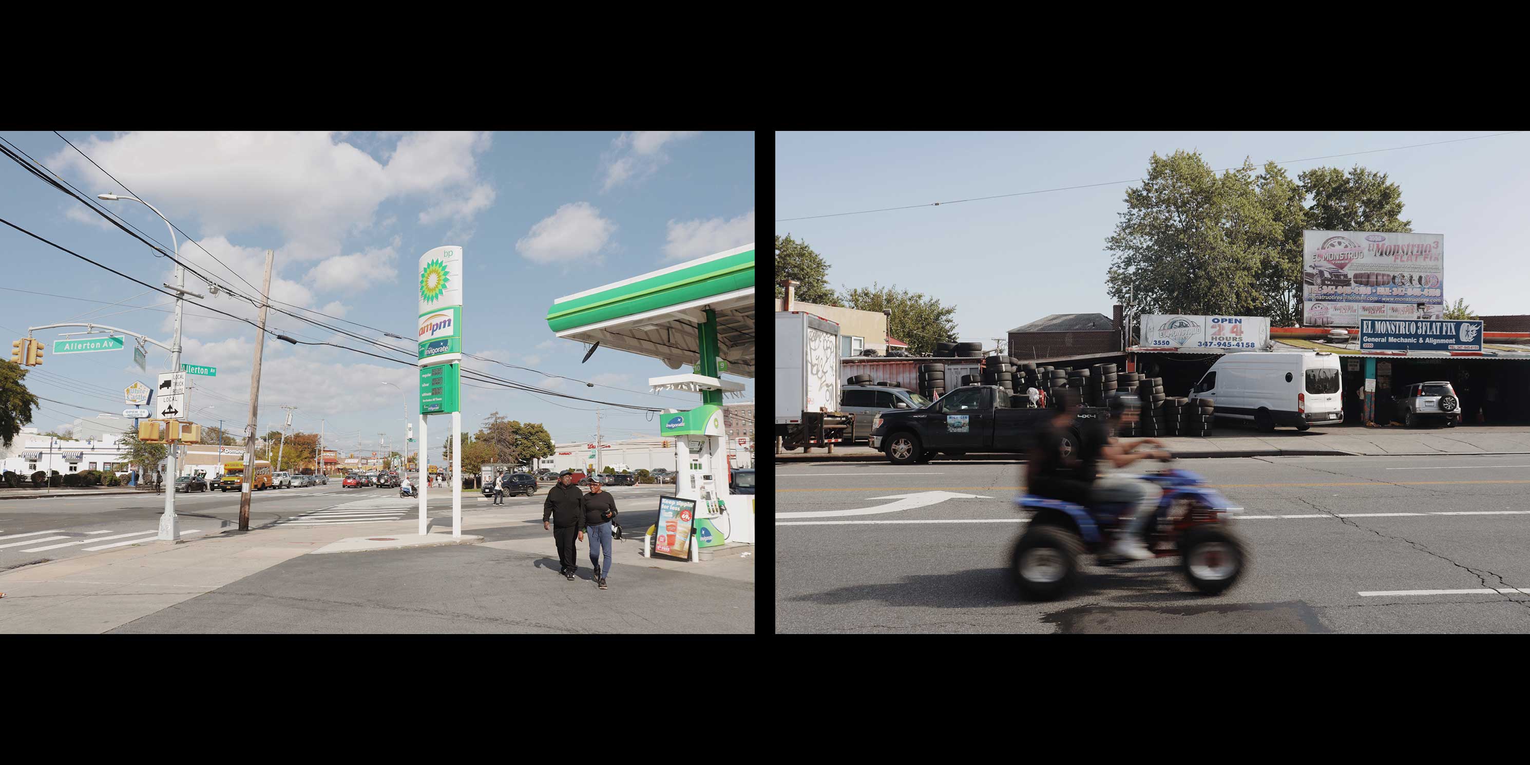 Boston Road, The Bronx. Photos: Kade Van Meeteren.photo 2 of 4
 -
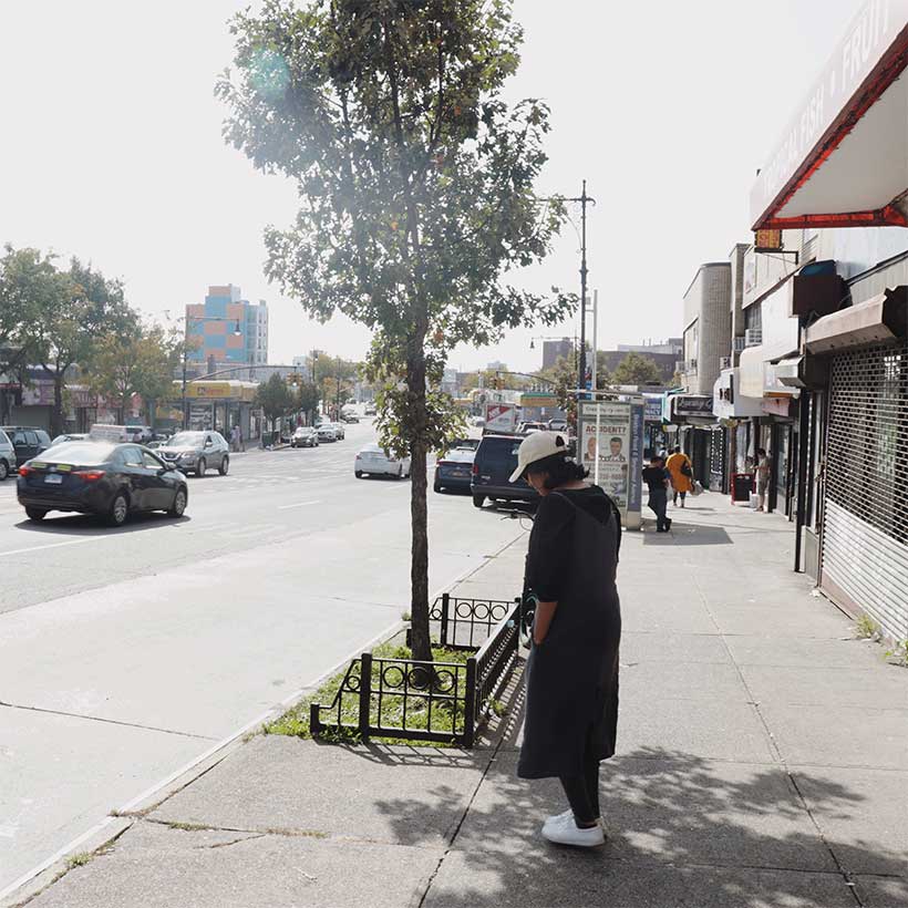
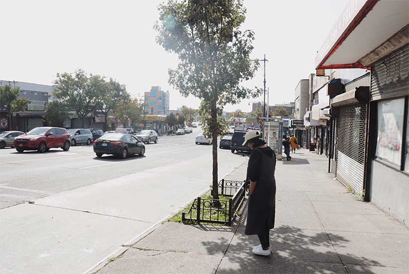
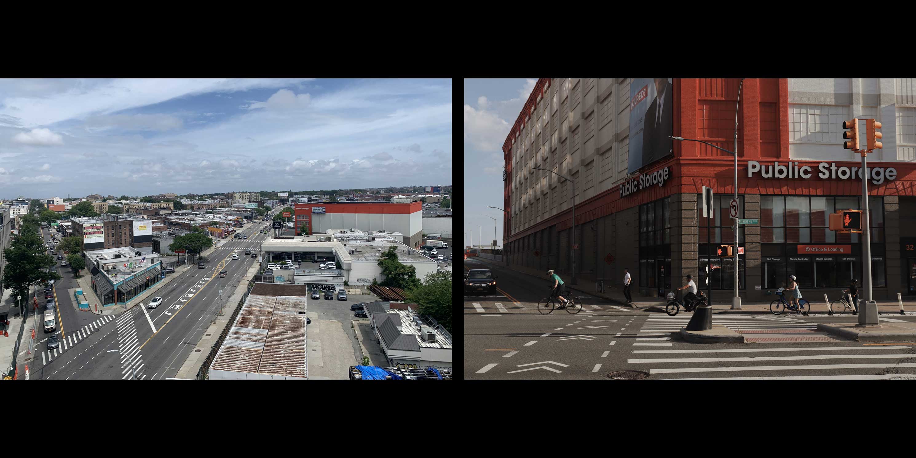 Northern Boulevard, Queens. Photos: Stephen Albonesi and Kade Van Meeteren.photo 3 of 4
 -
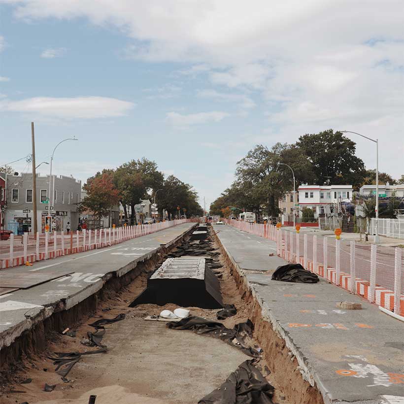
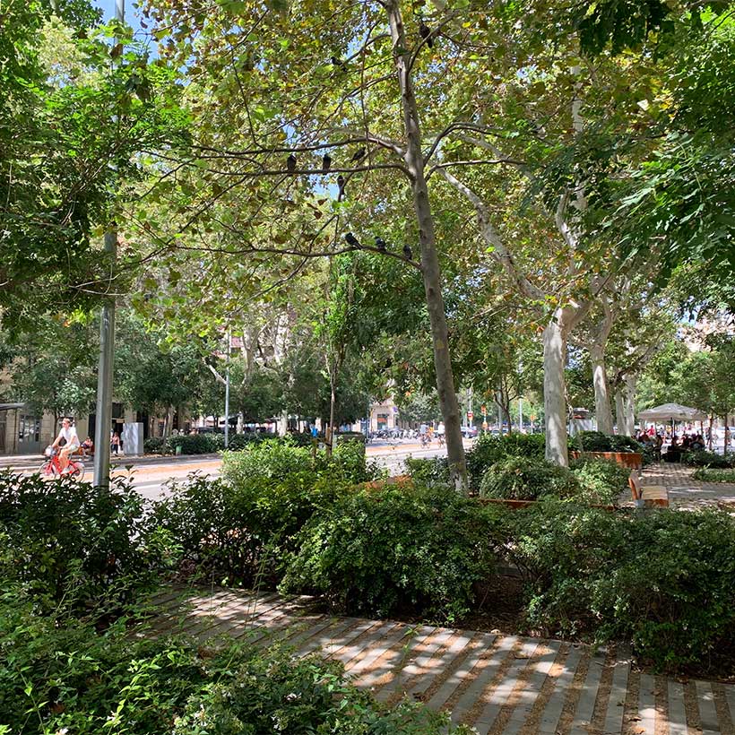
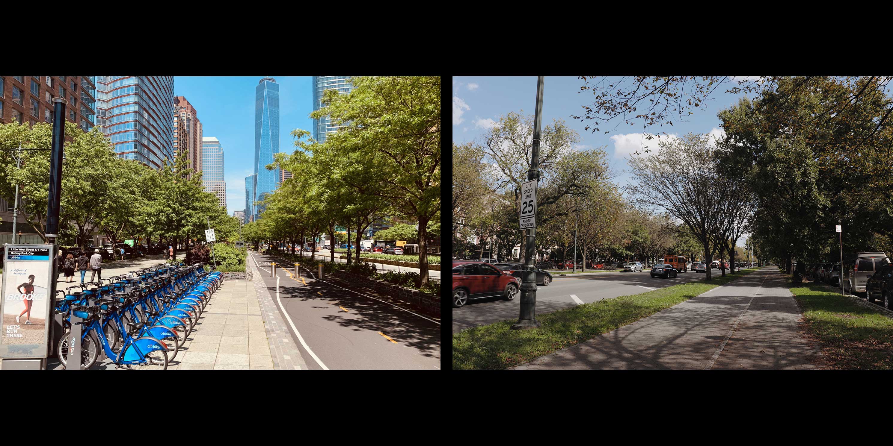 Unlike most other New York City arterials, West Street in Manhattan and Eastern Parkway in Brooklyn are highly vegetated and serve a diverse range of users. Photos: Stephen Albonesi and Kade Van Meeteren.photo 4 of 4
Greener Corridors is a continuation of MAS’s history of advocating for innovative land use, transportation, urban design, and public realm solutions. Greener Corridors was also inspired by MAS’s engagement in the planning process for the Atlantic Avenue Mixed-Use Plan (AAMUP), a New York City-led effort to rezone and re-envision a 13-block stretch of Atlantic Avenue in Brooklyn, and the opportunity to examine a neighborhood-level approach through a citywide lens.
Using spatial data analysis and field observations, Greener Corridors will examine the relation between multiple climate and livability issues along New York City’s major roads in the context of the larger street network. Greener Corridors will focus on major roadways in environmental justice areas given the disproportionate and lasting impact of these thoroughfares on disadvantaged populations. The initiative is at once aspirational and visionary, but it also builds upon a foundation of existing plans, policies, pilots, and tools that can be leveraged and strengthened, including from peer organizations focused on improving transportation systems, public safety, urban design, and other areas. Through expert conversations, international case studies, and actionable recommendations, Greener Corridors aims to inspire planners, designers, policymakers, and communities to re-evaluate arterial corridors, and, where appropriate, to re-envision them as more hospitable and dynamic spaces that meet local needs.
Articles
Read along as we explain New York City’s arterial roads in greater detail, including why they matter from a current and historical perspective. Read article
Arterials play an important role in moving large numbers of automobiles and trucks, but in a dense environment like New York City, they aren’t always safe, efficient, or reflective of the mobility preferences of the people who live near them. Read article
Users of New York City’s largest roadways experience excessive heat, flooding, and toxic air due to a lack of vegetation and swaths of impermeable surfaces, presenting a major opportunity to improve public health and mitigate the effects of climate change. Read article
A survey of the planning and policy landscape to understand how far the city has come in transforming its largest roadways, where it has stalled, and how much remains to be done. Read article
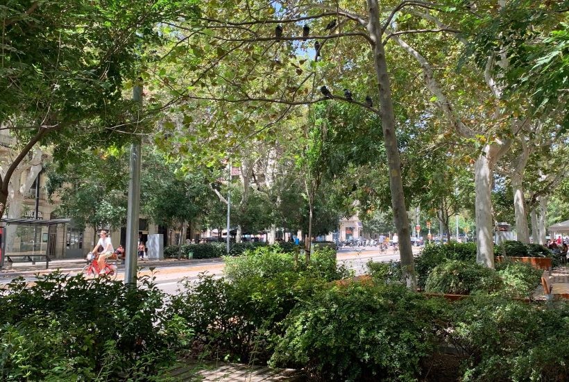
How cities like Barcelona, Medellín, and Seattle are making their major street corridors greener and more livable, and what New York City can learn from their efforts. Read article
Follow MAS:
MAS members and partners are crucial to everything we do. Please consider contributing to MAS and joining our community of advocates.
Support UsContact a staff member about this initiative. planning@mas.org >

Become a member to enjoy discounts to events and tours.
Learn about membershipRelated News + Reports