Gowanus Neighborhood Character Threatened by Rezoning
Testimony to the Department of City Planning
The Gowanus Neighborhood Rezoning comes at a critical time for the community. With its rich historic character, ecological complexity, and changing socioeconomic landscape, the Gowanus neighborhood deserves a sound plan that reflects the needs of its diverse stakeholders, including long-time and future residents. To accommodate growth, the rezoning must comprehensively respond to the area’s pressing infrastructural needs and numerous environmental and regulatory factors. Although the proposal has many worthy objectives, such as new affordable housing and the promise of jobs, the Municipal Art Society of New York (MAS) questions whether the current plan best achieves these goals while maintaining the area’s industrial and residential character.
Background
The rezoning involves a series of land use actions including zoning map amendments, zoning text amendments, the disposition of a City-owned site, and City map changes. Together, these actions will affect an 80-block, 20-acre area around the Gowanus Canal and along 4th Avenue. The rezoning is expected to result in a net increase of over 8,200 housing units, almost 700,000 square feet (sf) of commercial space, and just over 250,000 sf of community facility space. Approximately 300,000 sf of industrial and manufacturing space will be lost. By the 2035 build year, the rezoning is expected to introduce about 18,000 new residents and over 3,300 new workers to the area.
Download Testimony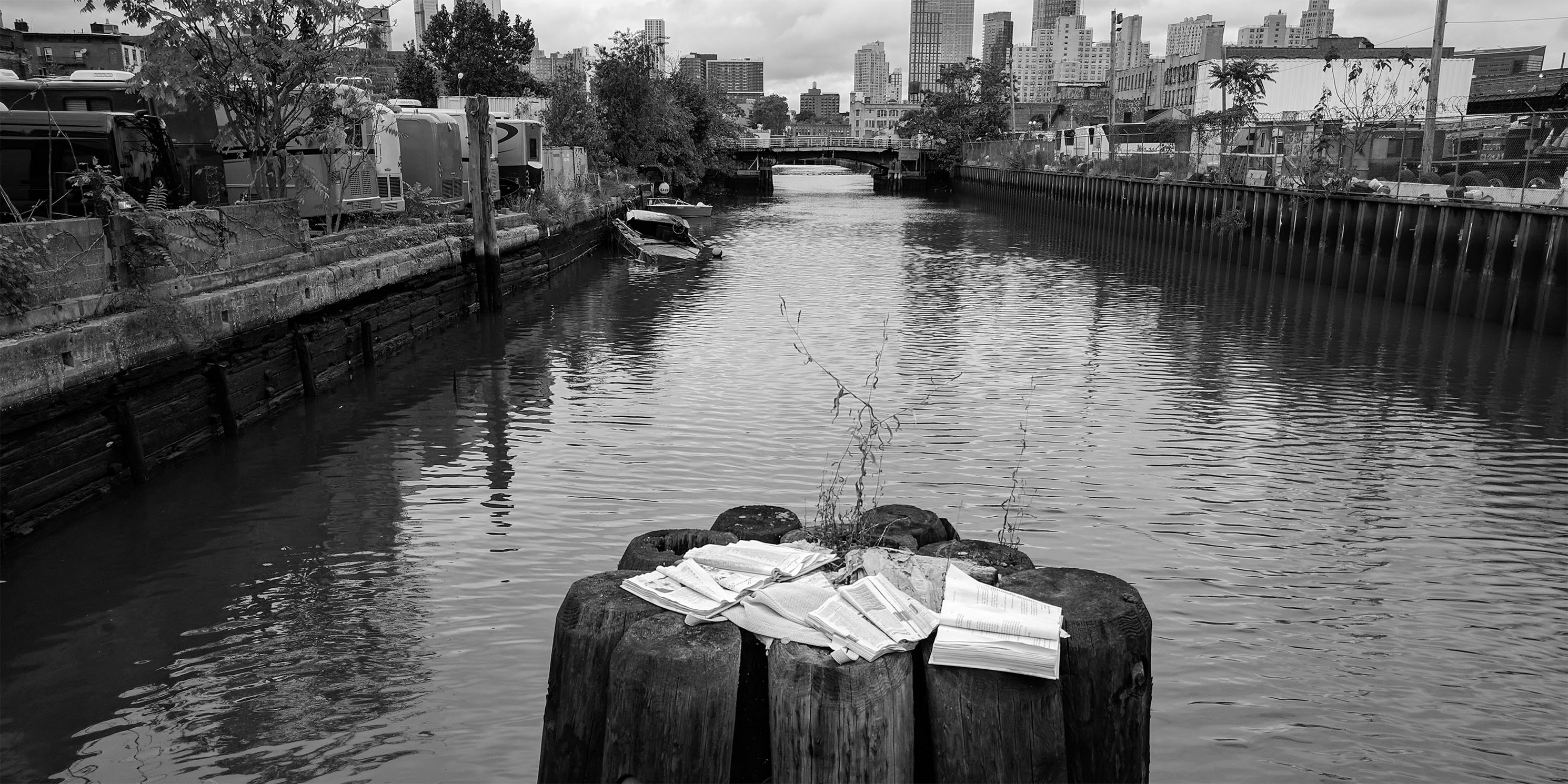
Reasonable Worst Case Development Scenario
As the framework for the CEQR evaluation, the Reasonable Worst-Case Development Scenario (RWCDS) must ensure that the highest level of development anticipated as a result of the rezoning is captured. The RWCDS forms the basis for all CEQR analysis; therefore, the future development assumptions from which the RWCDS is derived must be accurate and reliable.
The RWCDS in the Draft Scope of Work (DSOW) identifies 133 development sites in the rezoning area. More than half (73) of these sites are identified as potential development sites (as opposed to projected) and are excluded from the analysis. The DSOW criteria to determine which development sites are potential sites and less likely to be developed include:
- Slightly irregular shaped or encumbered sites that would make as-of-right development difficult;
- Lots with a significant number of commercial or industrial tenants, which may be difficult due to long-term leases;
- Active businesses, which may provide unique services or are prominent and successful neighborhood businesses or organizations unlikely to move; and/or
- Sites divided between disparate zoning districts.
Excluding these development sites from the CEQR analysis would undercount the number of soft sites in the rezoning area and result in an inaccurate RWCDS. MAS’s recent study on the reliability of CEQR evaluations for large-scale rezonings shows a history of undercounting in the RWCDS. In reviewing the rezonings of Long Island City (2001) and Downtown Brooklyn (2004), we found a substantial amount of development occurs on lots in rezoning areas that are not evaluated under CEQR. In addition, the first two major developments following 2017’s Greater East Midtown Rezoning occurred on sites that were neither identified as projected or potential development sites in the Environmental Impact Statement (EIS). In the case of the 2005 Hudson Yards rezoning EIS, the RWCDS underestimated total floor area by 1.8 million sf. The Gowanus community can ill-afford a continuation of this trend.
An undercount in Gowanus could result in an unexpected scale of future development, a flawed assessment of the rezoning’s potential for direct and indirect displacement, and unreliable evaluations of significant environmental categories. Our preliminary analysis shows that 114 of the 124 tax lots included in the potential development sites will have over 50 percent available FAR after the rezoning is approved but are currently not accounted for in the RWCDS. Also, over half of all building floor area on potential development sites is occupied by industrial or manufacturing uses, but not evaluated for potential business displacement.
Currently, the DSOW only provides the criteria listed above for the determination of potential sites. For full disclosure, the Final Scope of Work (FSOW) and Draft Environmental Impact Statement (DEIS) must include details and assumptions for why each lot was identified as a projected or potential development site. The evaluation must also include projections for the number of commercial and industrial tenants, information on the length of current leases, and the criteria used to determine the uniqueness and success of neighborhood businesses.
Project Description
With development pressures mounting in the area, extensive efforts have been undertaken by the community to envision the future of Gowanus. Bridging Gowanus, the Gowanus Lowlands Master Plan, and other planning and preservation efforts provide a thorough blueprint on which the City can build a truly responsive and place-based rezoning proposal. The rezoning reflects some but not all of the important recommendations of local stakeholders. For example, Bridging Gowanus’ suggestion of creating an industrial business improvement district, and a Tax Increment Financing pilot district through which increases in property values captured through taxes would be committed to area infrastructure improvements.
Given the many years of community involvement in Gowanus, the project description chapter of the FSOW and DEIS must clearly demonstrate how the rezoning aligns with land use objectives identified in community plans. Where community-determined land use objectives were precluded, the planning rationale for that decision must be stated.
Land Use, Zoning, and Public Policy
Too often, mixed-use zoning results in a loss of industrial businesses, as the market tends to favor high-end residential and commercial uses. Most recently, we have seen this with the rezonings of Long Island City and Greenpoint-Williamsburg. Since the project’s Purpose and Need Statement outlines a commitment to retaining and increasing industrial activity, the Gowanus rezoning must include a thorough set of mandates and incentives to preserve and grow designated, affordable industrial space. These should be included in the FSOW and DEIS.
Study Areas
By excluding the Southwest Brooklyn Industrial Business Zone (IBZ) from the land use study area, we believe the DEIS will not capture the full extent of potential land use changes and leave potential impacts from the rezoning unmitigated. The secondary land use study area should be expanded beyond a quarter-mile radius and the DEIS land use analysis should include the Southwest Brooklyn IBZ. Most importantly, before the release of the Final Environmental Impact Statement (FEIS), the Department of City Planning (DCP) should work with the Southwest Brooklyn IBZ to formalize a set of strategies to preserve and grow industrial businesses through land use actions that stimulate industrial retention, quality job growth, and investment in physical infrastructure and workforce programs.
Land-Use Mix in Rezoning Area
The proposed rezoning mentions the provision of floor area incentives to promote a mix of uses within the rezoning area, though it is unclear what these incentive structures will be. The DEIS must elaborate on where and how these incentives will be applied. More importantly, the DEIS should expand its analysis to evaluate the feasibility of a mandatory mixed-use scenario that includes cross-subsidy models for new industrial space in mixed-use buildings at specific use ratios.
Socioeconomic Conditions
In an area where the socioeconomic divide is widening, the plan cannot be solely evaluated on the number of affordable units it promises to introduce. The rezoning proposal must be sensitive to the conditions that allow residents to remain and thrive in their neighborhood, such as MIH options that reflect the existing income distribution, affordable retail and services, as well as jobs and wages that support the local workforce.
Data
The CEQR Technical Manual requires the analysis of socioeconomic trends and impacts on the study area level. However, the quarter-mile socioeconomic study area for the Gowanus rezoning overlaps with 15 census tracts that, when disaggregated, reveal critically disparate household income trends. For example, from 2010 to 2017, the share of households with an annual income of less than $35,000 grew from 46.3 percent to over 50 percent in Census Tract 71, while the share of households earning over $200,000 increased from 5 to 8.3 percent. In Census Tract 75 on the other hand, the median household income nearly doubled from $82,250 in 2010 to $154,375 in 2017. The share of the population with annual household incomes over $200,000 grew from 14 percent to 40 percent, while the percentage of households making less than $35,000 decreased from 18 to 12 percent.
To optimize the accuracy of the socioeconomic conditions analysis, the DEIS must evaluate demographic trends on a census tract level. This would improve estimations of indirect residential displacement and ensure that selected MIH options best match existing income distributions.
Open Space
The creation of a Waterfront Access Plan (WAP) poses a unique opportunity for improving public access along the canal. To this end, the DEIS should outline how the WAP regulations will ensure that these spaces are well maintained, programmed, and accessible at all hours of the day.
The DSOW states “Further exploration of additional connectors across the Canal to facilitate pedestrian (or vehicular) mobility would be considered in the long term…” However, MAS believes that these connectors must be studied and shared as part of the environmental review process, as they play a major role in pedestrian and vehicular mobility throughout the entire rezoning area.
Moreover, DCP and other City agencies involved in the project should think holistically about the interconnectedness of the neighborhood’s existing and future open spaces, including the ability to safely and freely travel between them. The concept of a “green network” was identified in Bridging Gowanus and mentioned in the Gowanus Framework goals, but must be explored in greater depth in the FSOW and DEIS.
Historic and Cultural Resources
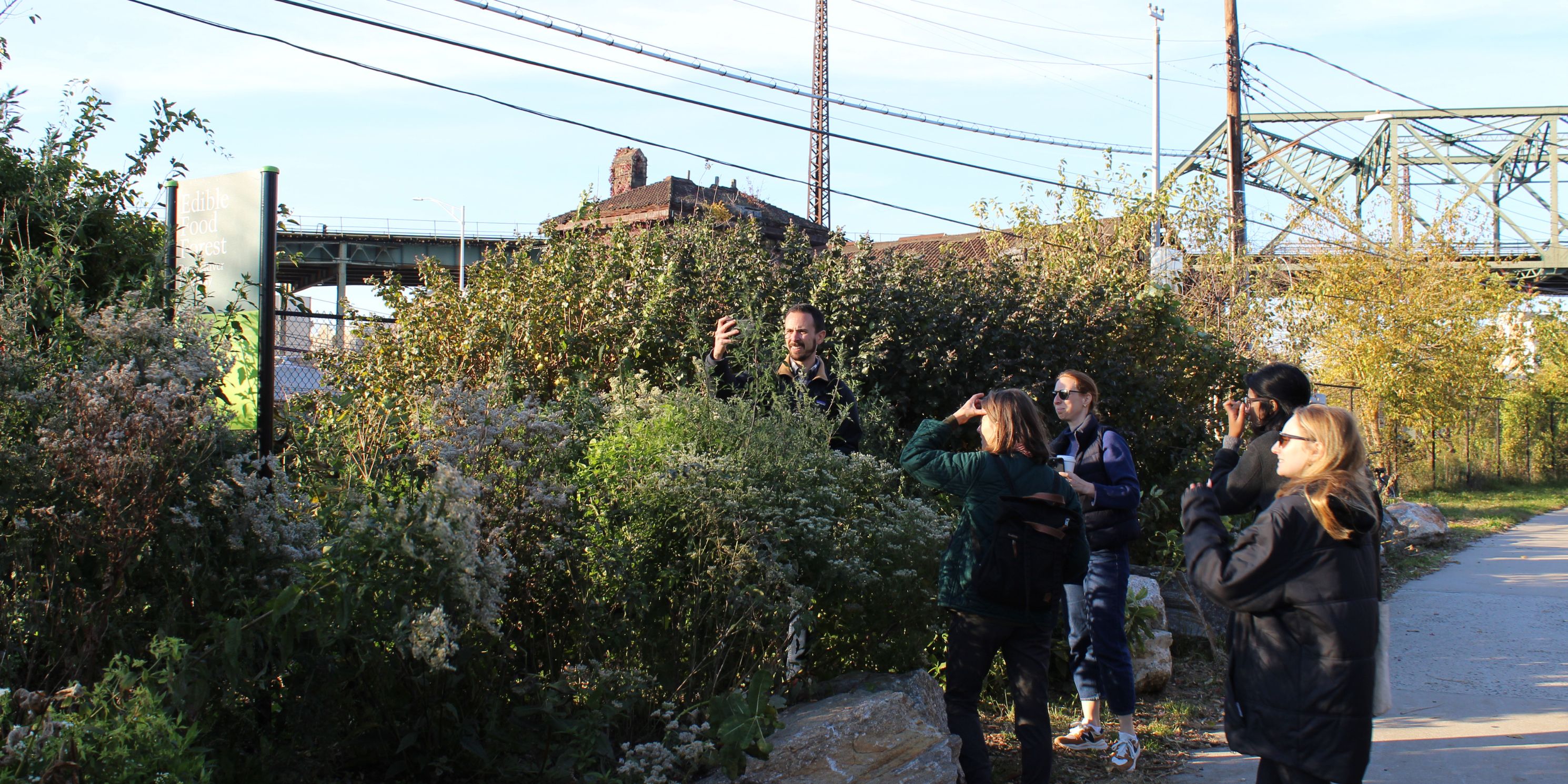
Many Gowanus properties retain their industrial character and contribute to the importance of the cultural and economic history of Brooklyn and New York City. Significant features of the neighborhood include industrial buildings along the canal, the bridges crossing the canal, and often-overlooked elements like the canal itself and its shape, bulkheads, basins, and edges.
During our 2009 historic resource survey, MAS identified 18 buildings in Gowanus as contributing to a National Register district. This list was submitted to the New York City Landmarks Preservation Commission (LPC) and includes:
- Former Brooklyn Rapid Transit Power House, 323 3rd Avenue
- Pumping House, 195-99 Douglas Street
- S.W. Bowne Grain Storehouse, 258 Creamer Street
- Culver Viaduct, 9th Street over Gowanus Canal
- Union Street Bridge
- ASPCA Memorial Building and Horse Trough, 233 Butler Street
- R.G. Dun and Company Building, 239-57 Butler Street/206 Nevins Street
- National Packing Box Company, 543 Union Street
- American Can Factory, 232 3rd Street
- Tile Works Building, 130 3rd Street
- Eureka Garage, 638-44 Degraw Street
- The News Brooklyn Garage, 209-215 3rd Avenue
- T.H. Roulston, Inc. Buildings, 70-124 9th Street
- Norge Sailmakers Building, 170 2nd Avenue
- 4th Street Brewery and Icehouse Complex, 401-421 Bond Street
- Gowanus Station, 234 Butler Street
- Warehouse with Decorative Paving, 129-131 8th Street
- Brooklyn Rapid Transit Powerhouse, 322 3rd Avenue
The list is not comprehensive and the DEIS field survey should include any buildings that appear to be eligible for the State or National Registers or designation by LPC. All known and potential historic resources must be identified in the study area, not only those that could be directly impacted.
Study of contextual impacts should also include an examination of the change in neighborhood character from industrial and manufacturing buildings to residential developments, as required by the CEQR Technical Manual. The results of the DEIS survey should be given to both LPC and the State Historic Preservation Office so that they may determine the eligibility of the resources. Both of their determinations should be included in the DEIS.
Hazardous Materials
The Gowanus Canal is one of the most polluted water bodies in the country. Dozens of surrounding sites are contaminated with coal, asphalt, lead, arsenic, petroleum, and other hazardous materials. MAS has considerable concerns about the coordination of the rezoning process and the Federal Superfund cleanup effort. We expect improved transparency from the City on this effort, including timelines for respective project benchmarks. In addition, the DEIS should describe and delineate other remediation plans and brownfield designations under consideration within the proposed rezoning area. This description should include those plans being funded or conducted by community-based organizations, local, state and federal agencies, and private entities.
It is also of paramount importance to the health of residents and workers that the DEIS outline specific actions to decrease exposure of toxins from highly contaminated lots within the proposed rezoning area, both during and after construction. The DEIS should also account for hazardous materials exposed from the Superfund cleanup process.
Water and Sewer Infrastructure
While the Superfund cleanup is a step in the right direction, it is only addressing two of 10 combined sewer overflow (CSO) sheds that discharge into the canal. Research by local environmental groups demonstrates that issues with existing water and sewer infrastructure will be exacerbated by the expansion of development in the area. Before any rezoning-related development occurs, the infrastructural capacity to accommodate growth must be in place.
Sewer impacts and capacity must be evaluated at the sewershed level. In this case, the DEIS must expand the study area to align with the Red Hook and Owl’s Head sewersheds, which together encompass the rezoning area. These two neighboring sheds are expecting significant new development in addition to what may result from the Gowanus rezoning. The DEIS must analyze the total expected increase in capacity from rezoning-related development as well as all ongoing and proposed development within the Red Hook sewershed, including the massive 22-acre Pacific Park project.
In addition to capacity analysis, the DEIS should include a feasibility study and cost analysis of the necessary infrastructure improvements to fully abate CSOs in the canal corridor. It should include on-site performance requirements for individual developments that address permeability (e.g. green roofs and green streets) and incentivize water conservation strategies (e.g. use of graywater and sensors). These mechanisms would help eliminate stormwater overflows in the first place, reducing the need for storage tunnels and lessening volumes to sewage treatment plants.
Lastly, the DEIS should compare those measures taken to abate the increased CSOs with those identified in relevant community-based plans, and explain why any measures identified by community stakeholders will not be utilized.
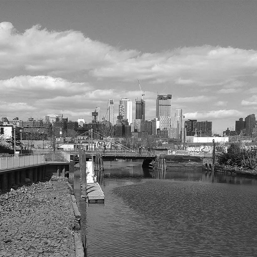
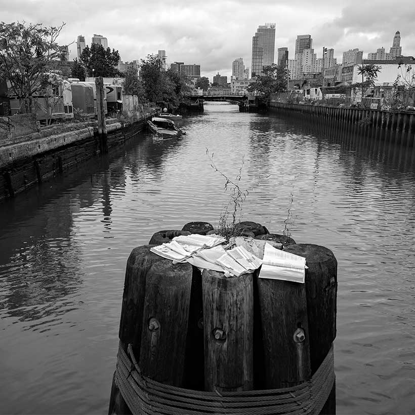
Neighborhood Character
The FSOW and DEIS must address how the rezoning will preserve Gowanus’ low-scale, mixed-industrial and residential neighborhood character. As proposed, the rezoning would introduce a significant modification of FAR with height and setback regulations along the Gowanus Canal–the neighborhood’s primary feature. It would allow buildings to rise up to 30 stories, more than twice as tall as the canal area’s tallest building, 365 Bond Street. This would represent a significant departure from the current neighborhood character and warrants an accurate, critical evaluation that goes beyond a perfunctory summary of other EIS impact category analyses.
Mitigation
MAS’s recent CEQR study revealed consistent deficiencies in how the City identifies and implements mitigation measures to address adverse environmental impacts of large-scale neighborhood rezonings. Therefore, we urge DCP to identify in the DEIS specific mitigation measures approved by the responsible City agency to allow the public to comment prior to the release of the FEIS.
In addition, the FSOW and DEIS should include a provision that written commitments for mitigation be addressed in the FEIS. It should include the type and location of the specific measures, implementation schedule, and specific procedures by which the mitigation would be monitored and tested for effectiveness. We also expect follow-up memoranda by DCP at designated times during the rezoning build year period that informs the public of implemented mitigation measures. Finally, we urge the City to include fulfillment of mitigation commitments for projected and potential development sites as a condition for granting certificates of occupancy once sites are ready for redevelopment.
Alternatives
Given the input from the community during the rezoning planning process, the FSOW and DEIS must identify and explore a robust alternative that takes into account a scenario in which residential development would be more heavily weighed over commercial uses. This would provide an additional level of accountability in the event that market conditions change and the anticipated mixed-use development scenario does not occur as projected.
Conclusion
The Gowanus rezoning is one of the most complex and challenging neighborhood rezonings undertaken by the City, and the process has now lasted more than a decade. The rezoning has the potential to drastically change the character and socioeconomic make-up of this unique neighborhood. The City has a tremendous responsibility to consider the area’s demographic and business diversity, historic character, and the challenges associated with its legacy of industrial pollution and infrastructural deficiencies.
Throughout our active engagement with the City and community, we recognize the interconnectedness of Gowanus’ history, ecology, people, and potential. We insist that both the rezoning proposal and environmental review process remain flexible and responsive to the complexity of the issues raised and ongoing feedback from the community.
Help us continue our planning advocacy on behalf of New York City.
DonateRelated Initiatives
Related News + Reports