Public Assets
Mapping the Sixth Borough of New York
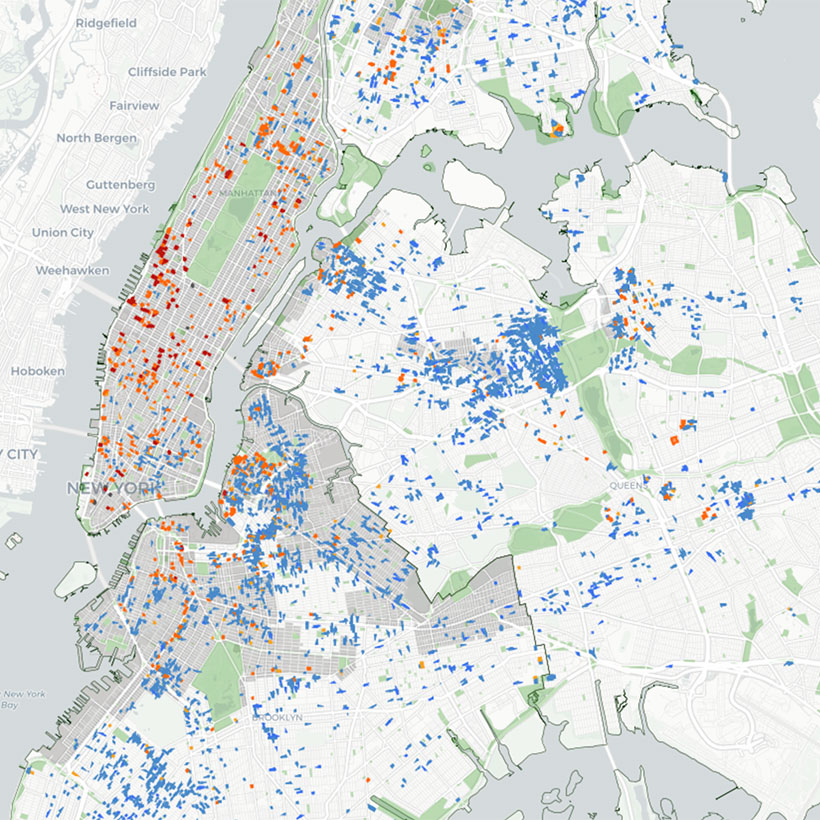
New York City owns or leases 14,000 properties around the five boroughs—a public asset roughly the size of Brooklyn. Where are these properties? Are they serving the public interest in their current use? This online tool empowers decision makers, planners, and the public to identify opportunities for improving, protecting, and utilizing City-owned and leased property.
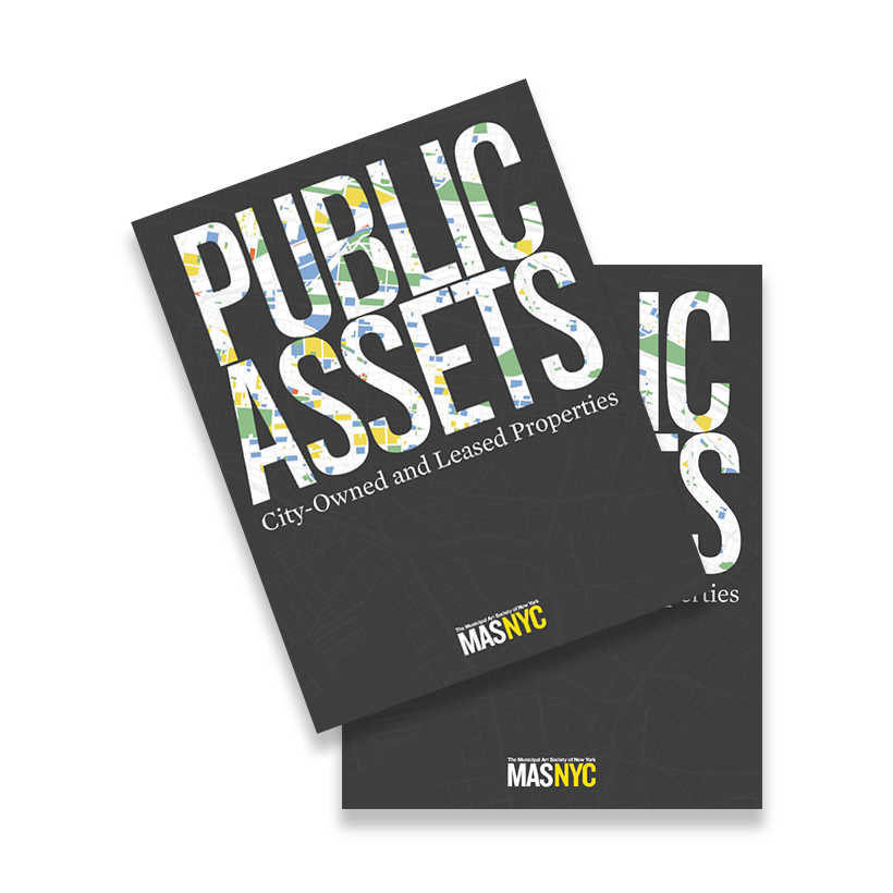
The Municipal Art Society of New York (MAS) presents Public Assets: City-Owned and Leased Properties (Public Assets), a report and online mapping tool, to provide comprehensive land use, zoning, and geographic information derived from two City datasets, MapPLUTO and City Owned and Leased Properties 2014 (COLP).
Public Assets is the first step in an ongoing process designed to improve our public assets and contribute to a healthier, more dynamic, and inclusive New York City. Public Assets presents a snapshot of how city-owned and leased properties relate to several key issues: the environment, infrastructure, landmarks, population, and neighborhood rezonings.
Examining these holdings and evaluating opportunities for their protection, enhancement, and development should be a priority of this and any future administration. MAS believes that true equity in the city’s planning and land-use decisions can only be achieved through an informed and engaged public. Public Assets is a measurable step toward achieving that goal.
Maps from 2016 have been archived. A more recent map is available on our Public Assets Map page.
Follow MAS:
MAS members and partners are crucial to everything we do. Please consider contributing to MAS and joining our community of advocates.
Support UsContact a staff member about this initiative. planning@mas.org >

MAS is proud to fight alongside you for a city where growth is balanced and character endures.
DonateRelated News + Reports

Related Events + Tours
Related Initiatives