MAS Comments Regarding the Draft Scope of Work for the Bay Street Corridor Rezoning
MAS would like to see new open space included in the project area
MAS Comments Regarding the Draft Scope of Work for the Bay Street Corridor Rezoning and Related Actions, Borough of Staten Island Environmental Impact Statement CEQR No. 16DCP156R, Staten Island, NY July 14, 2016
Download Testimony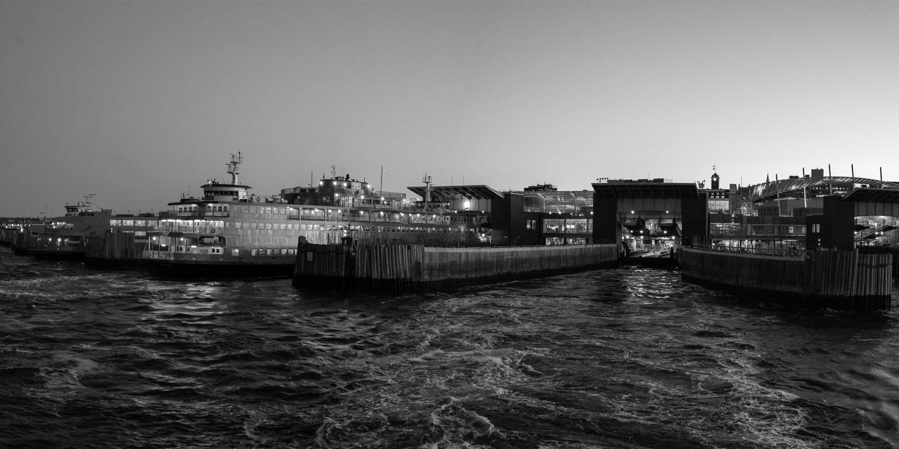
The Municipal Art Society of New York (MAS) commends the level of city engagement and community involvement in the Bay Street Corridor @ Downtown Staten Island Initiative. We support the goals of the City to rezone this area from manufacturing to residential and commercial zoning districts to create opportunities for affordable housing, increase economic development, and improve open space and infrastructure. MAS also recognizes that the Bay Street Corridor is one of 15 neighborhoods in which the City seeks to encourage density and apply the requirements of Mandatory Inclusionary Housing (MIH).
The proposed project is expected to result in an incremental increase of approximately 2,557 new dwelling units, approximately 260,000 square feet (sf) of new commercial uses and approximately 49,000 sf of community facility space throughout the 20 block project area. We understand that the project could facilitate a maximum of approximately 700 affordable dwelling units.
MAS requests the following items be included in the Scope of Work to be evaluated in the Environmental Impact Statement (EIS):
Zoning, Land Use, Public Policy
The Mandatory Inclusionary Housing (MIH) option has not been chosen at this time and the potential impacts on overall development will vary. The EIS should evaluate an option that would result in the highest number of dwelling units in order to assess the highest possible impact scenario.
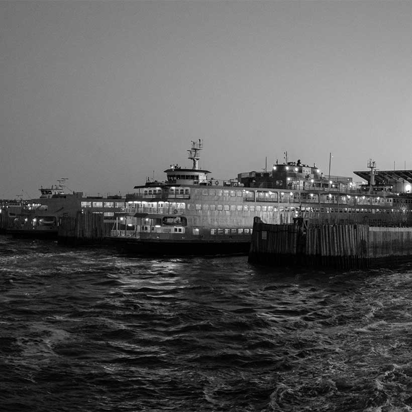
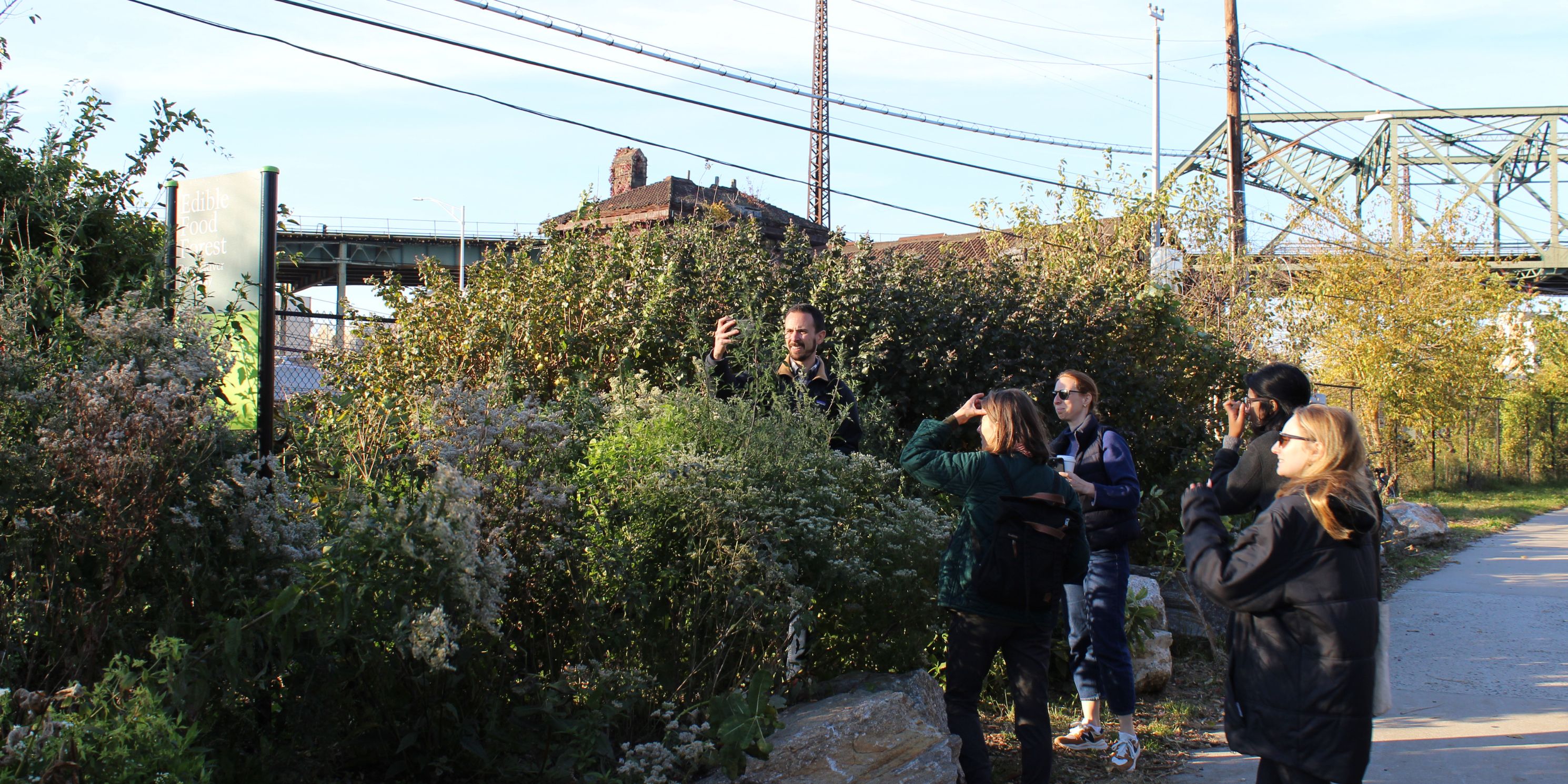
Open Space
Under Task 5: Open Space and Recreation, the Draft Scope of Work (DSOW) states that “because the Project Area does not contain any existing public open space, no open space would be displaced, changed, or have access limited; therefore, the Proposed Project would not result in any direct effects on open space and a detailed assessment is not warranted.” Based on the significant increase in residents and workers anticipated under the rezoning, and the fact that the area is already extremely underserved by open space, MAS would like to see, as part of the overall project, new open space included in the project area.
Shadows
The EIS should include a shadow analysis of the potential impacts of the project on the Lyons Pool, an individual New York City landmark. This is especially important because under the proposed rezoning, the lot west of the site (181 Bay Street – Block 497, Lot 9) would be rezoned to allow a building with a maximum height of 165 feet.
Hazardous Materials
MAS recommends that each lot to be rezoned should be subject to an individual Phase I Environmental Site Assessment based on the change in land uses in the corridor from manufacturing to residential and commercial districts.
Water and Sewer Infrastructure
The project as proposed would significantly exceed CEQR waste water thresholds for residential and commercial uses located within combined sewer areas in Staten Island. During the June 15 Public Scoping Meeting elected officials and community members discussed the condition of the existing sewer infrastructure in the project area, expressing concern that the additional development facilitated by the rezoning would overwhelm the already inadequate system. In addition, according to DEP 311 data, between years 2010-2014 there have been dozens of complaints reported in relation to street flooding, clogged catch basins, basement flooding, and sewer backups.
The Bay Street Corridor is located within a combined sewershed served by the Port Richmond water pollution control plant (WPCP). The WPCP has a designed capacity to treat 60 million gallons per day and serves an estimated population of 212,685. According to the 2016 EPA Enforcement and Compliance History Report, the control plant is one of the four EPA violating facilities classified as Significant Noncompliance Category I, the most serious level of violation noted in EPA databases. Future development facilitated by the rezoning would further tax the overburdened control plant. Based on this information, the EIS must include a detailed analysis of potential impacts on the sewer’s infrastructure and identify mitigation options for a development scenario that exceeds the capacity of the WPCP.
Solid Waste
Because the project is anticipated to result in the generation of more than 50 tons of solid waste per week, we expect the EIS to include a detailed analysis of the impacts on the available waste management capacity in the area. In addition, we recommend that the EIS evaluates the potential impacts of the project on Staten Island’s waste transfer station and identifies and evaluates mitigation measures in the event that adverse impacts are identified.
Energy
According to the City’s Special Initiative for Rebuilding and Resiliency’s report, A Stronger More Resilient New York, the Bay Street Corridor is located within one of the city’s most extensive electric networks, ranging over 10,000 acres. The network is also Staten Island’s largest and densest, serving roughly 44,000 buildings. Based on the magnitude of the potential development facilitated by the rezoning, the EIS should include an investigation of the potential impacts of the project on the capacity of the electric network serving the Bay Street Corridor.
We understand that the reasonable worst case development scenario (RWCDS) evaluated in the EIS will disclose the projected amount of energy consumption. In addition, we recommend that the evaluation should include the energy conservation codes likely to be in place in the year 2030, the rezoning build year. According to the New York City Energy Conservation Code, buildings over 50,000 gross square feet (gsf) or larger will be required to upgrade lighting systems by 2025. However, the City Council has recently introduced a bill that would expand the upgrade requirements to buildings 25,000 gsf or larger (Intro. 1165). This bill will likely have a significant impact on the electric network serving the Bay Street Corridor area. Again, as the Bay Street Rezoning build year is 2030, we recommend for the EIS to address this scenario in full detail.
Greenhouse Gas Emissions and Climate Change
Finally, based on the build year 2030, we recommend that the EIS include an analysis of the project’s resiliency in response to the increase in flood risk resulting from sea level rise. According to the 2012 NYC DPC Surge Area map, over 50 percent of the Bay Street Corridor study area was flooded during Hurricane Sandy. Furthermore, an even larger area of the corridor is expected to be included within 100-year flood zone, according to New York City’s Panel on Climate Change projection for the 2050s. As such, MAS believes that the Scope of Work for the Bay Street Corridor EIS should analyze flood risk based on data presented in Table 18-2 from the CEQR Technical Manual (NPCC Baseline Climate and Mean Annual Changes).
Help us continue our planning advocacy on behalf of New York City.
DonateRelated News + Reports