Inwood Rezoning Must Protect Community Character
Testimony to the City Planning Commission
The Municipal Art Society of New York (MAS) believes the Inwood rezoning proposal comes at a vital juncture for the neighborhood. While the time is ripe for a comprehensive rezoning to frame Inwood’s future, growth must be balanced with equitable protections for the community and the many elements that make it such a special place. Adequate and appropriate safeguards must be put in place through the rezoning that protect Inwood’s community character.
Inwood is truly a unique neighborhood. It sits at the northern tip of Manhattan, characterized by its hilly topography, bountiful parks, historic resources, relationship to the water, and diverse population. It is this long-standing population—the residents and businesses—that must be protected for the rezoning to successful.
MAS is encouraged by the Inwood NYC Action Plan that frames the rezoning proposal, in particular its recommendations for affordable housing at the Inwood Library site, the level of outreach to local residents to support tenants’ rights, investments in infrastructure, and support of neighborhood businesses through grant programs. However, we remain concerned about the potential for low-income residents to be displaced, the gentrification of retail establishments, and the potential long-term effects future development will have on cultural and natural resources.
Download Testimony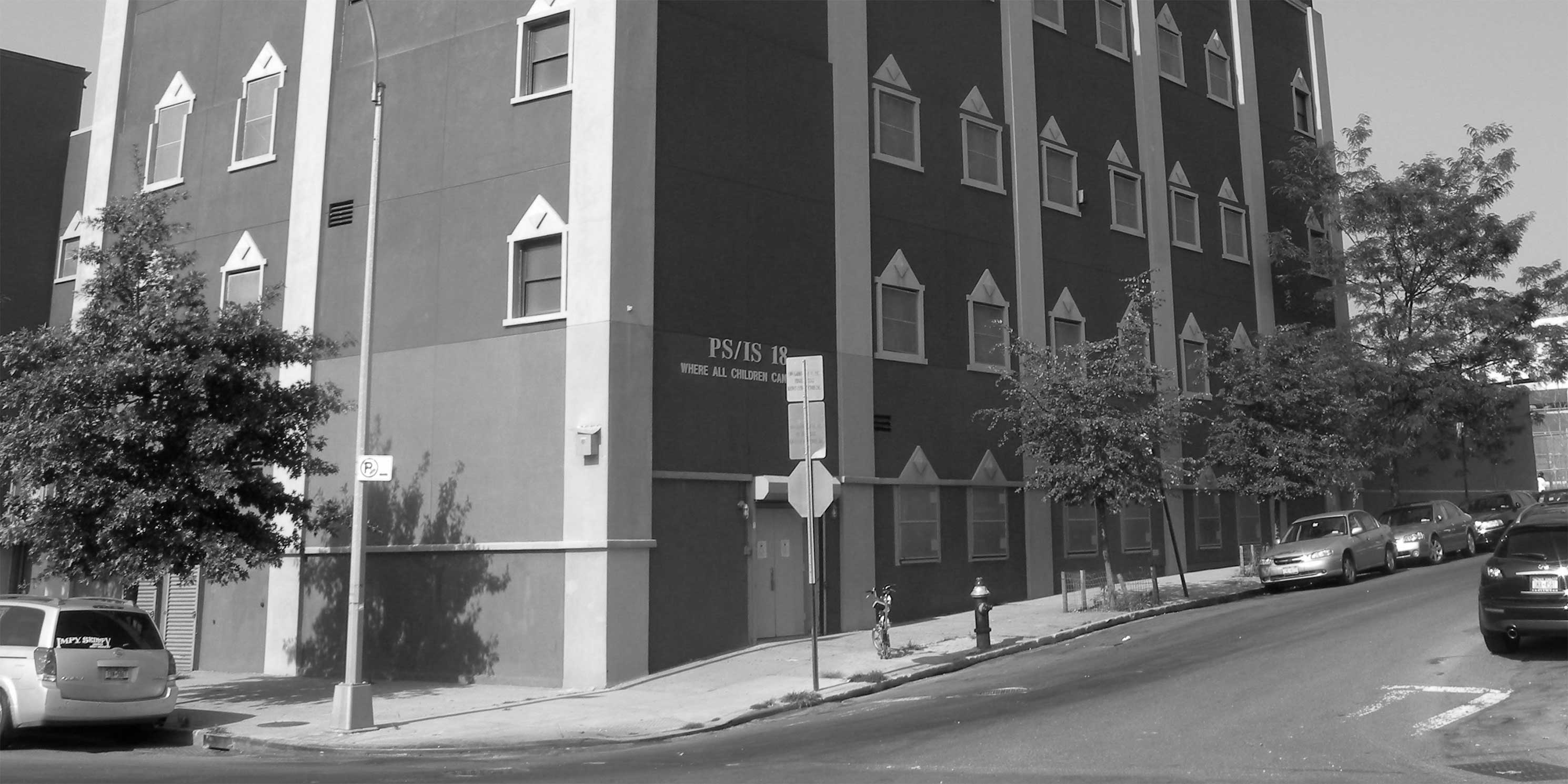
Background
The rezoning affects a 59-block, 230-acre area. By the 2032 build year, the rezoning would result in an incremental increase of 4,348 dwelling units, including 1,325 or 1,563 affordable units, depending on which Mandatory Inclusionary Housing (MIH) option is selected, and 12,088 new residents to the area. With the rezoning, Inwood’s population would increase by 28 percent in less than 15 years.
In terms of land use, the proposal would add 1.1 million square feet (sf) of commercial space, the most of any City-led rezoning, almost a half-million- sf of community facility space, and a 50,000 sf decrease in light industrial space.
MAS Recommendations and Comments
Reasonable Worst Case Development Scenario (RWCDS)
As is the case with other City-led rezoning proposals, MAS finds the Reasonable Worst Case Development Scenario (RWCDS) that frames the analysis in the Draft Environmental Impact Statement (DEIS) does not accurately represent the most conservative development projection under the zoning proposal because it does not take into account rent-stabilized and underbuilt residential buildings.
This is an important distinction in the evaluation of socioeconomic conditions in Inwood where approximately 70 to 80 percent of housing units are rent-stabilized or rent-regulated. Therefore, the RWCDS should be amended to include applicable rent-stabilized and underbuilt units in the rezoning project area.
We have also found that the DEIS does not include a description of the proposed development at sites 2A and 2B, part of the Columbia Presbyterian Hospital expansion in the “Tip of Manhattan Subdistrict.” The expansion is expected to result in a half-million sf of new development, including a quarter-million sf of medical office space and nearly a quarter-million sf of research office space. Given the size of the proposed development, the FEIS needs to include details on these two development sites so that they can be properly evaluated. The development of market-rate buildings may increase the demand to redevelop multifamily dwellings outside the soft sites. Our concern is that by increasing density near a large number of buildings with rent-stabilized units, the rezoning would put additional redevelopment pressure on nearby properties, which in turn could lead to potential indirect displacement of low-income residents. These concerns are magnified when considering that a quarter of Inwood’s population lives below the poverty line.
There may be additional challenges for the many nearby properties with rent stabilized units. Our research shows there are 316 buildings with rent-stabilized units in the project area registered with the DHCR, and an additional 15 are likely to have rent-stabilized units that are not registered.1 Although the owners might not have the incentive to demolish and redevelop many of these buildings because they are not considered underbuilt, they may be inclined to deregulate stabilized units or worse, illegally convert them into market-rate. In fact, many of these residents are at risk of facing tremendous increases in rent because approximately 30 percent of rent-stabilized units in Inwood currently have preferential rents.2
Because the DEIS does not evaluate the potential impacts of illegal conversions of rent-stabilized units or the increase of preferential rents, the full impact of the rezoning is not known.
Public Policy
Waterfront Access Plan and Waterfront Revitalization Plan Assessment
The Waterfront Access Plan (WAP) should go a long way to connect the rezoning area to the Harlem River and public spaces along the waterfront. While the guidelines establishing a continuous shore public walkway and visual corridors are generally strong, we recommend the creation of additional visual corridors and connections to the waterfront between 203rd and 207th Streets.
The rezoning area adjacent to the Harlem River is within the 100-year floodplain. Although the DEIS identifies a transfer of development rights program and construction standards for resiliency and flood mitigation, MAS recommends additional and more stringent measures. We urge the City to further reduce or restrict development in flood-prone areas and encourage stronger flood mitigation infrastructure not only to reduce loss of life and destruction of property, but also to minimize the impact of local Combined Sewage Overflow (CSO) events in the Harlem River.
In 2016 alone, 38 CSO events occurred at one outfall in Inwood, accounting for 18 million gallons of raw sewage and stormwater runoff pouring directly into the Harlem River. According to the DEIS, the 33 projected development sites would generate 1.4 million additional gallons of sewage, a 567 percent increase over No-Action conditions.
The DEIS mentions that EDC and other City agencies, including New York City Department of Environmental Protection (DEP), are developing a new drainage plan for the area that would address future capacity requirements. However, the Water and Sewer Infrastructure evaluation concludes that no adverse impacts to wastewater would occur as a result of the rezoning.
Given the existing high levels of water contamination in the Harlem River, we find this conclusion to be premature. Therefore, the FEIS analysis must include the findings and recommendations of the drainage plan and how it would be implemented in the rezoning area to minimize future impacts. We also expect the drainage plan report would be made available on the FEIS website.
Socioeconomic Conditions
Indirect Residential Displacement
With more than 12,000 new residents anticipated, the rezoning could drastically change the socioeconomics of the Inwood community. For a proposal that touts affordable housing as a primary objective, it is imperative that the DEIS socioeconomic analysis identifies and evaluates an MIH income band.
It is critical that the Inwood community is made aware of the number of affordable units that would be created in the rezoning area and the level of affordability offered. This is particularly important in light of the Broadway-Sherman Avenue Rezoning in 2016, which was eventually rejected by the City Council based on questions about the project’s level of affordability. Without this disclosure, the community does not have sufficient information to assess this critical component of the rezoning.
Therefore, we expect that an MIH option will be selected during the ULURP process and evaluated in the FEIS. In addition, as part of the FEIS evaluation, we ask that the City to include details on unit size and number of bedrooms anticipated for the affordable dwelling units.
According to U.S Census (2011/2015 American Community Survey data) 29 percent of the households in Community District 12 have an income that is less than 30 percent of the Area Median Income (AMI), $24,500 for a three-person household. The deepest affordability option under MIH would require that 20 percent of the residential floor area be affordable to households earning 40 percent of AMI ($32,640 for a three-person household).
Another option under MIH provides dwelling units affordable at 60 percent of AMI ($49,000 for a three-person household) which is above the neighborhood’s median household income of $41,700.
Based on these options, MAS recommends that the deepest level of affordability be evaluated to ensure that affordable housing is within reach for the greatest number of existing residents. We also recommend that the City explore deeper levels of affordability and include them in the Alternatives Analysis in the FEIS. Furthermore, the affordability levels for units built on the Inwood Public Library site should also be disclosed.
Direct Business Displacement
The project is expected to directly displace more than 250 employees in local businesses. No mitigation measures have been identified to offset the impact of displaced businesses, especially the Super Associated Marketplace and Compare Foods grocery stores that been identified as potential development sites. While it is possible that new grocery stores will be constructed under the proposed rezoning, it is imperative that practical and affordable grocery shopping options are available for residents. Therefore, we expect the rezoning to be revised to include protections so that certain areas do not become food deserts.
The DEIS states that approximately 26 businesses would be directly displaced by new development under the rezoning. MAS believes there should be mitigation measures to facilitate the relocation of these businesses such as relocation assistance and grants from the Department of Small Business Services.
Indirect Business Displacement
Most of the proposed and potential development sites in the rezoning area have commercial uses and will be rezoned to mixed-use districts. The addition of a large influx of residents with incomes well above the neighborhood average raises substantial concerns of retail gentrification. These residents are likely to demand goods and services from retailers that are not currently available in the neighborhood. MAS is concerned that local businesses will be pushed out of the neighborhood.
The DEIS states that the rezoning may lead to increases in area retail rents due to higher demand brought by new residents. However, the analysis obscures the possibility that new residents’ tastes will differ from those currently living in Inwood. While Inwood is a hub of Dominican culture today, with shops and restaurants catering to the local Dominican population, incoming residents are unlikely to demand the same retail opportunities. MAS asks that these factors be addressed in the rezoning and evaluated in the FEIS along with specific protection measures to prevent, to the extent practicable, indirect business displacement.
Community Facilities
We have significant questions about how the rezoning would affect school capacity in the area and the analysis of school capacity in the DEIS. With an enrollment of 7,779, elementary schools in Community School District 6 are at 101 percent capacity. However, according to the DEIS No-Action development scenario, enrollment will decrease to 5,056 by 2032, a drop-off of over 2,700 students in the next 14 years. Although NYCDOE Enrollment Projections indicate that enrollment will fall 35 percent by 2024, we find the DEIS lacking in explaining the marked drop-off and how it translates to the number of elementary school students anticipated in 2032.
The methodology used and assumptions made to reach the elementary school student estimates in the No-Action scenario must be clarified and disclosed in the FEIS. Accurate projections are necessary to inform the public about the need for investment in public school construction and expansion. This also affects how decisions are made regarding potential mitigation measures (i.e., new school construction) should district schools remain overcapacity.
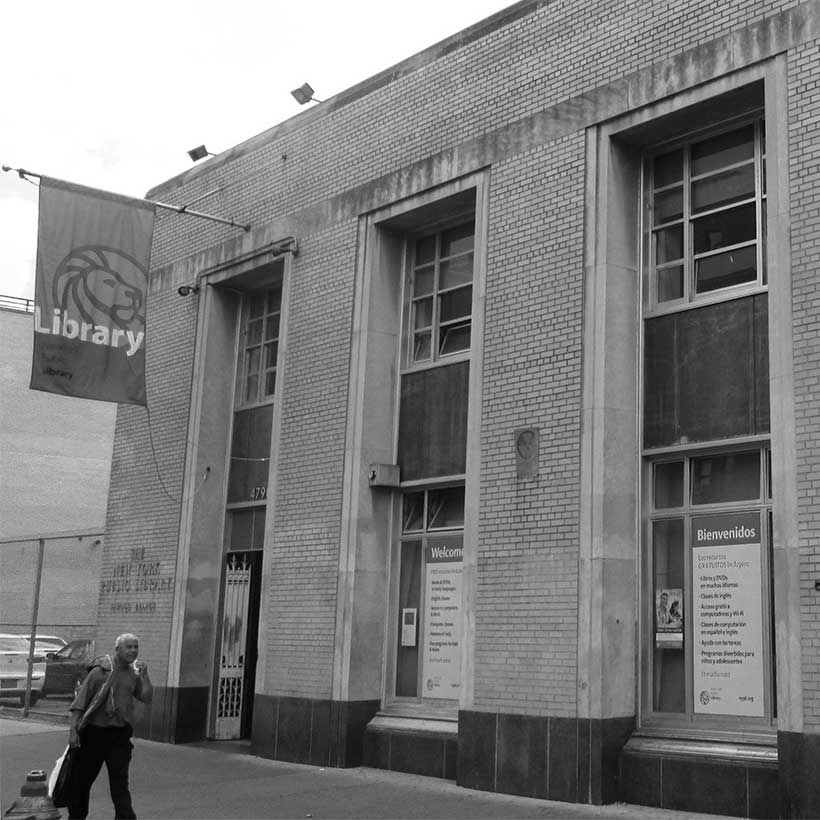
The New York Public Library site is identified as a potential development site for affordable housing, pre-kindergarten classrooms, and a modern library. While MAS supports this, the FEIS must evaluate the impacts of the library closure on the neighborhood and provide specific information on the expected timeline for the library and the temporary library construction.
While we support the creation of over 100 units of affordable housing on the library site, we would like the City to explore adding more library space to accommodate the approximately 12,000 new residents that will move into the neighborhood. The new library would be less than 1,000 sf larger than the old library and we are concerned that the new space will not sufficiently serve the increased population of the neighborhood.
Shadows
We find the evaluation of the shadow impacts on the river substantially inadequate. According to the DEIS, development under the proposed rezoning would result in five to six hours of incremental shadows on the Harlem River throughout the year. The Harlem River is both an essential fish habitat and an impaired river, due to the presence of pollutants, according to the EPA. Therefore, the FEIS needs to provide an analysis of how the specific species in the river would be affected by the additional shadows. Furthermore, MAS urges the City to explore design changes for future development that would reduce shadow impacts in the Harlem River.
Historic and Cultural Resources
The Dyckman Farmhouse and Museum, which is both a National Historic and individual New York City landmark, is at Broadway and West 204th Street, directly within the Commercial “U” sub-district for which an upzoning is proposed. The Dyckman Farmhouse and Museum must be protected from the impacts of construction from nearby developments.
Archaeology
The Inwood area has a potential trove of archaeological resources. According to a Phase 1A Archaeological Assessment, conducted as part of the DEIS and reviewed by the Landmarks Preservation Commission (LPC), ten projected development sites and six potential development sites may contain archaeological artifacts. LPC recommended that archaeological testing be done before any development can occur on these sites. While City-owned development properties will conduct archaeological studies prior to excavation and construction, the DEIS states that no measures are in place to require archaeological testing for private developers apart from the reporting of any human remains, should they be unearthed.
MAS finds the lack of protection for potential archeological resources disconcerting. Given the likelihood of these assets, we urge the City to require that all archaeological remains found in the Inwood area be documented and that the proper authorities, including the LPC, be notified. Furthermore, all correspondence with the State Historic Preservation Office and the LPC must be provided as part of the FEIS to ensure that the public is fully informed of the concerns raised by these agencies.
Alternatives Evaluation
The DEIS evaluates three alternatives: No-Action, Proposed Action, and a Lower Density Alternative. To provide a wide range of potential development options, MAS recommends that the FEIS evaluate an alternative in which the rezoning only takes place east of 10th Avenue and the impacts are primarily constrained to business displacement in the Sherman Creek area. This alternative scenario restricting development to the east of 10th Avenue would allow new development while maintaining the building scale and character of the heart of the neighborhood.
Conclusion
MAS recognizes how critical the rezoning proposal is for the future of the Inwood. With the influx of such a large number of new residents and the expected development the rezoning will facilitate, Inwood is surely set to change.
In light of the imminent changes, the City must do all it can to ensure that new growth is carefully integrated equitably and protects all the elements that make Inwood a special place. Particularly its people.
We find that a rezoning in Inwood would be prudent given the changes that the neighborhood has seen in recent years. However, we have many serious concerns that need to be addressed in the current proposal before we can support it. We urge the City to incorporate our recommendations.
References
- Henrick, Chris, 2014, Am I Rent Stabilized? Graduate Thesis Studio, Parsons MFA Design & Tech, http://chenrick.carto.com/tables/all_nyc_likely_rent_stabl_merged/public (last accessed February 13, 2018)
- https://projects.propublica.org/graphics/preferential-rents
Help us continue our planning advocacy on behalf of New York City.
DonateRelated News + Reports