Up to the TASC
Incorporating Data into CEQR and Comprehensive Planning
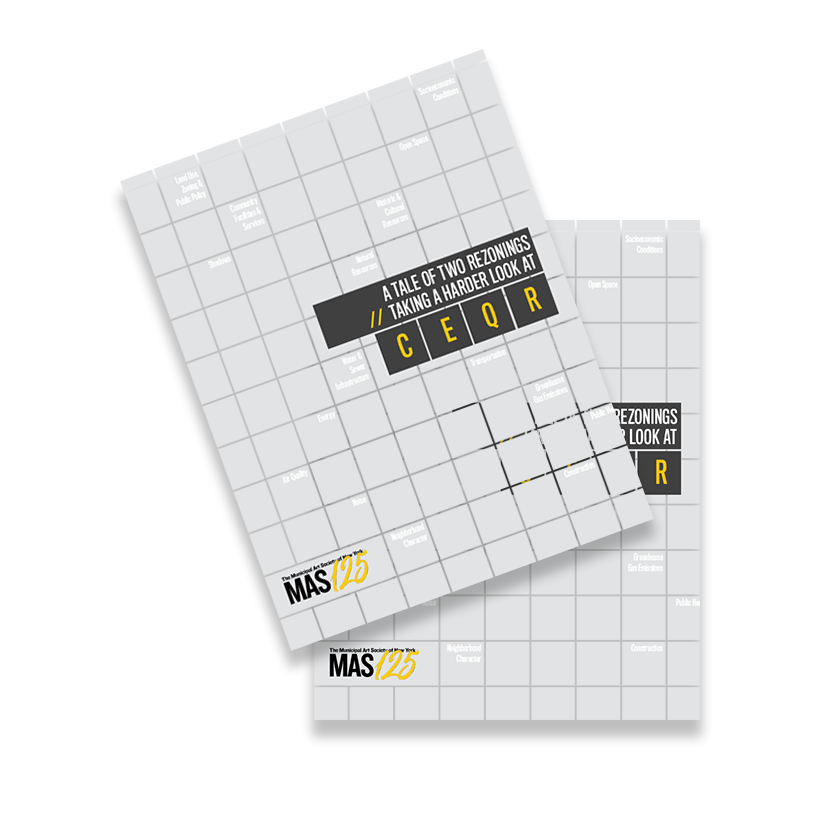
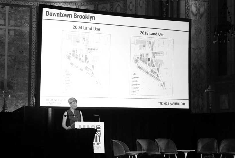
Download ReportNew York’s City Environmental Quality Review (CEQR) process is intended to disclose the environmental impacts of City land use decisions, but flawed methodologies often lead to unreliable estimates of impacts on the built environment and the people who live there.
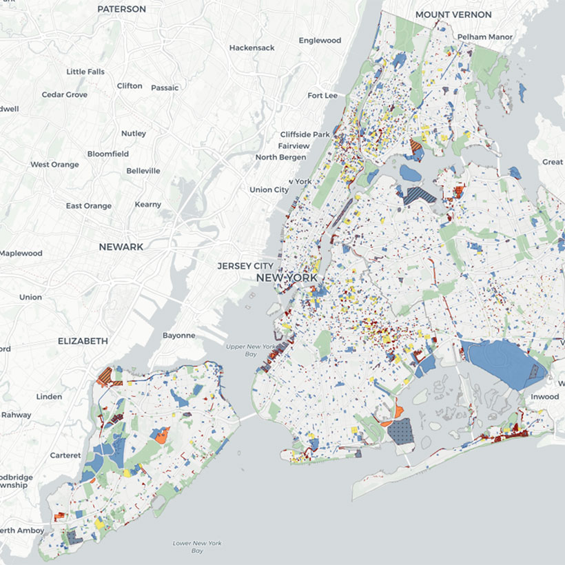
This white paper, created by the Municipal Art Society of New York (MAS) and Regional Plan Association (RPA) in partnership with New York University’s Guarini Center on Environmental, Energy and Land Use Law (NYU), introduces our expanded and strengthened methodology and outlines our land use mapping tool that incorporates 45 indicators of built environment and social vulnerability factors to support analysis at the lot, neighborhood, borough, and citywide levels. This initiative and mapping tool, together called TASC, informs our ongoing advocacy for reforming CEQR, supporting comprehensive planning, and strengthening community-led planning.
MAS and RPA will be introducing TASC at a special free presentation for Open Data Week on Thursday, March 11, at 5:00 PM. All interested audiences are encouraged to register and attend.
RSVP for Democratizing Data for Community Planning >
The public release of the TASC tool is targeted for early next year. This project is made by possible in part by a grant from the New York Community Trust.
-
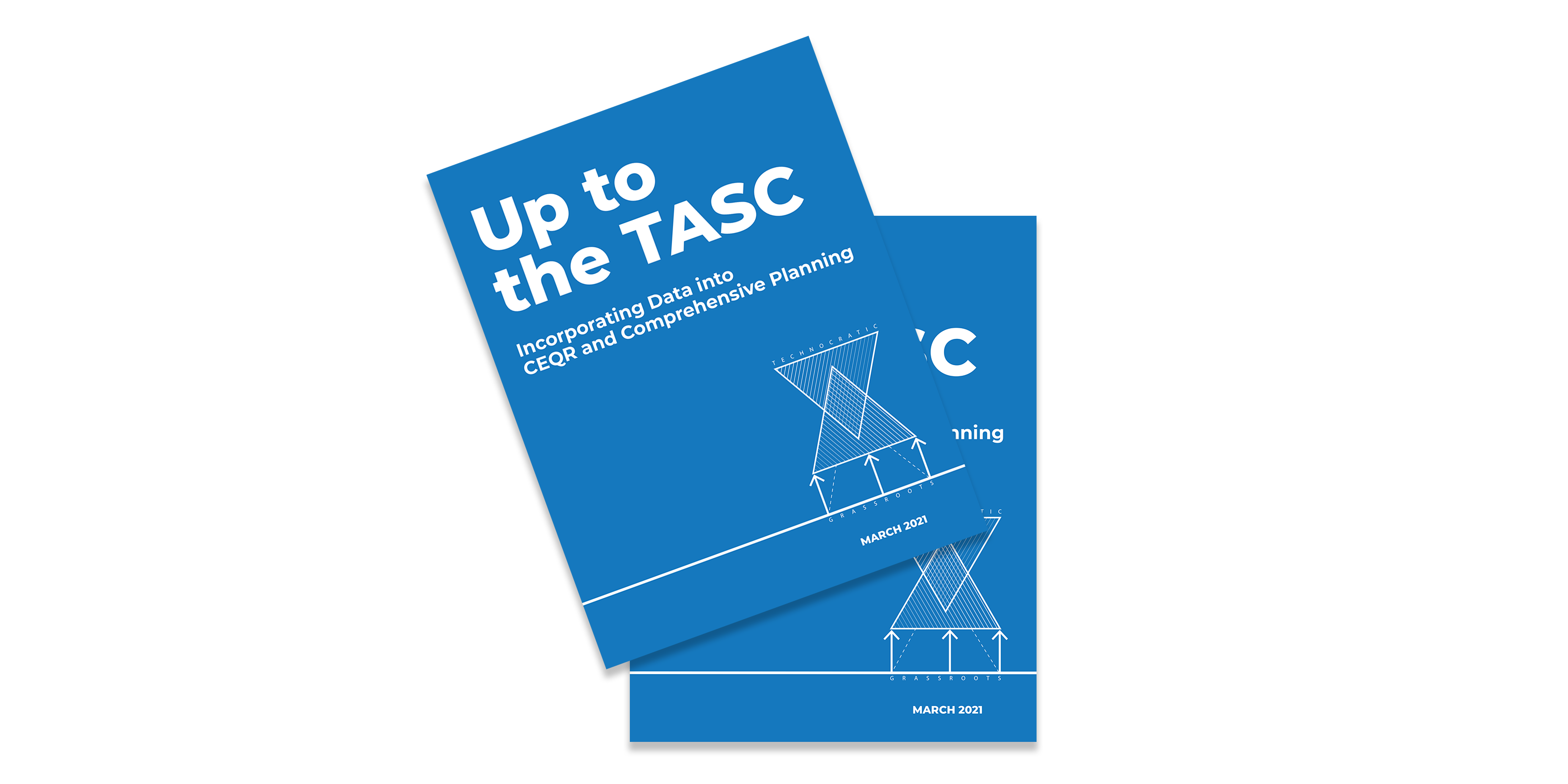 photo 1 of 4
 -
 photo 2 of 4
 -
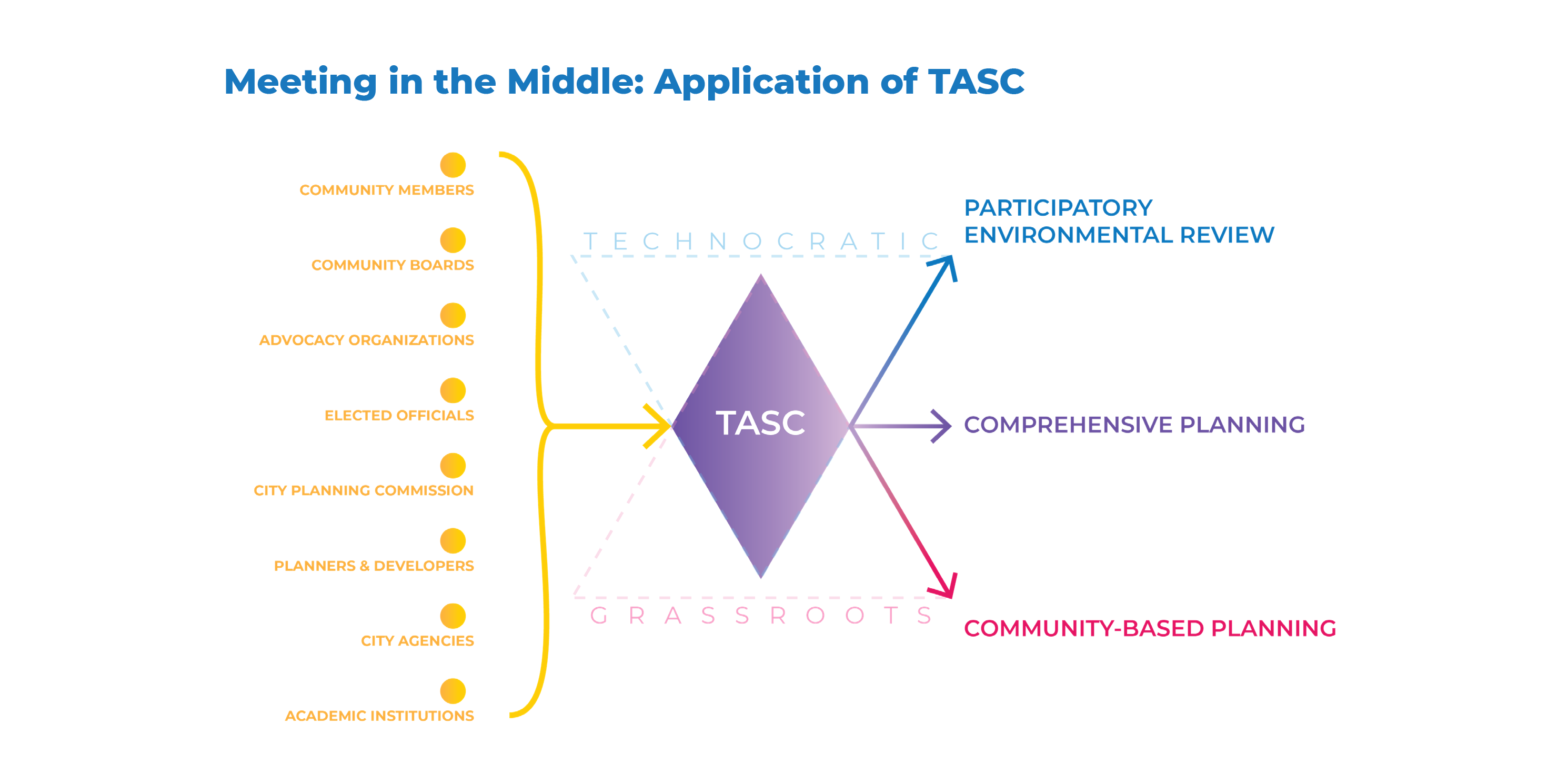 photo 3 of 4
 -
 photo 4 of 4

Become a member to enjoy discounts to events and tours.
Learn about membershipRelated Initiatives
Related News + Reports