Transparency, Coordination & Public Outreach Needed in Gowanus Rezoning Plan
Comments to Brooklyn Community Board 6
The Municipal Art Society of New York (MAS) has had a long engagement in the Gowanus neighborhood. We have closely examined plans for the Gowanus rezoning since the initial proposal in 2008. With the current rezoning proposal, many of the primary issues MAS first raised regarding inadequate stormwater and sewage infrastructure, environmental remediation and public health concerns, and the loss of industrial space remain as critical as ever. The addition of 20,000 new residents anticipated under the rezoning stands to potentially overburden existing infrastructure and unalterably transform the character of the neighborhood.
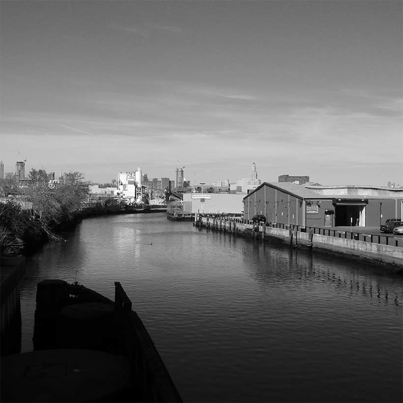
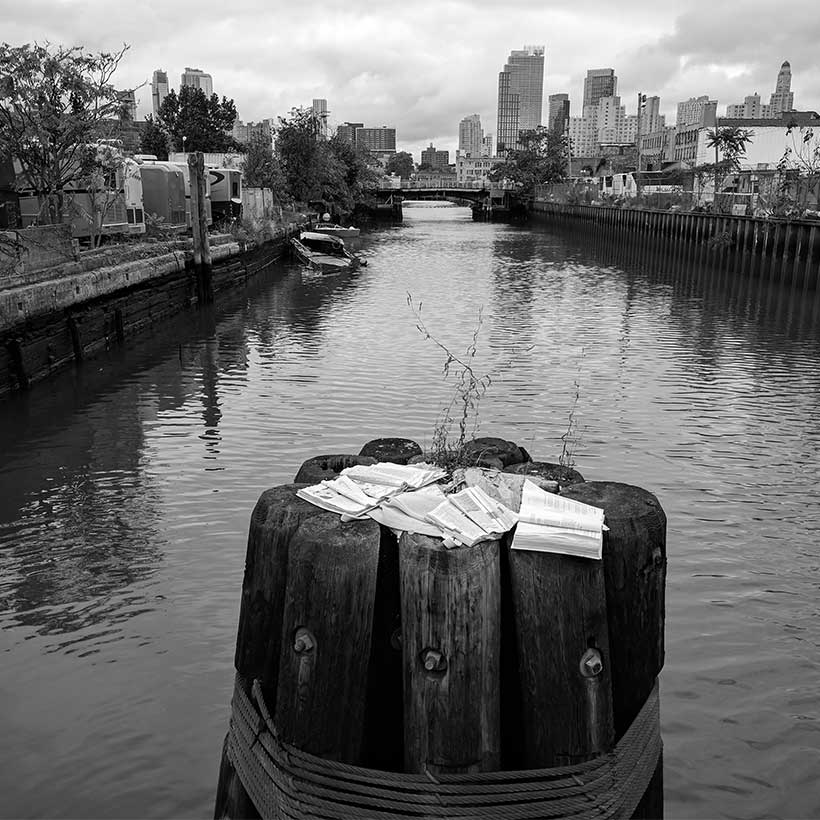
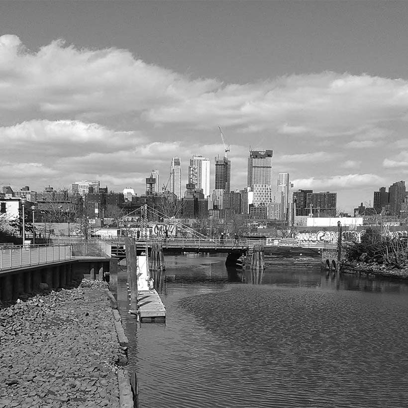
Gowanus is a complex neighborhood. Shades of its manufacturing and industrial past remain in its buildings and streetscapes. The Gowanus Canal, both the central focal point of the rezoning area and a Federal Superfund clean-up site, presents a unique challenge when measured against other large-scale neighborhood rezonings. Also, most of the area’s low-income residents live in three NYCHA developments outside of the rezoning area.
With these complexities in mind, we continue to advocate for a transparent, inclusive, and well-coordinated process and many substantive concerns must be addressed. Throughout the planning process, consistent with our CEQR reform advocacy, we have questioned the accuracy of development projections under the rezoning, particularly the large number of potential development sites, as well as housing affordability and choice, the status of the Southwest Brooklyn Industrial Business Zone (IBZ), and whether new development would help pay for repairs at nearby NYCHA developments.
Download Testimony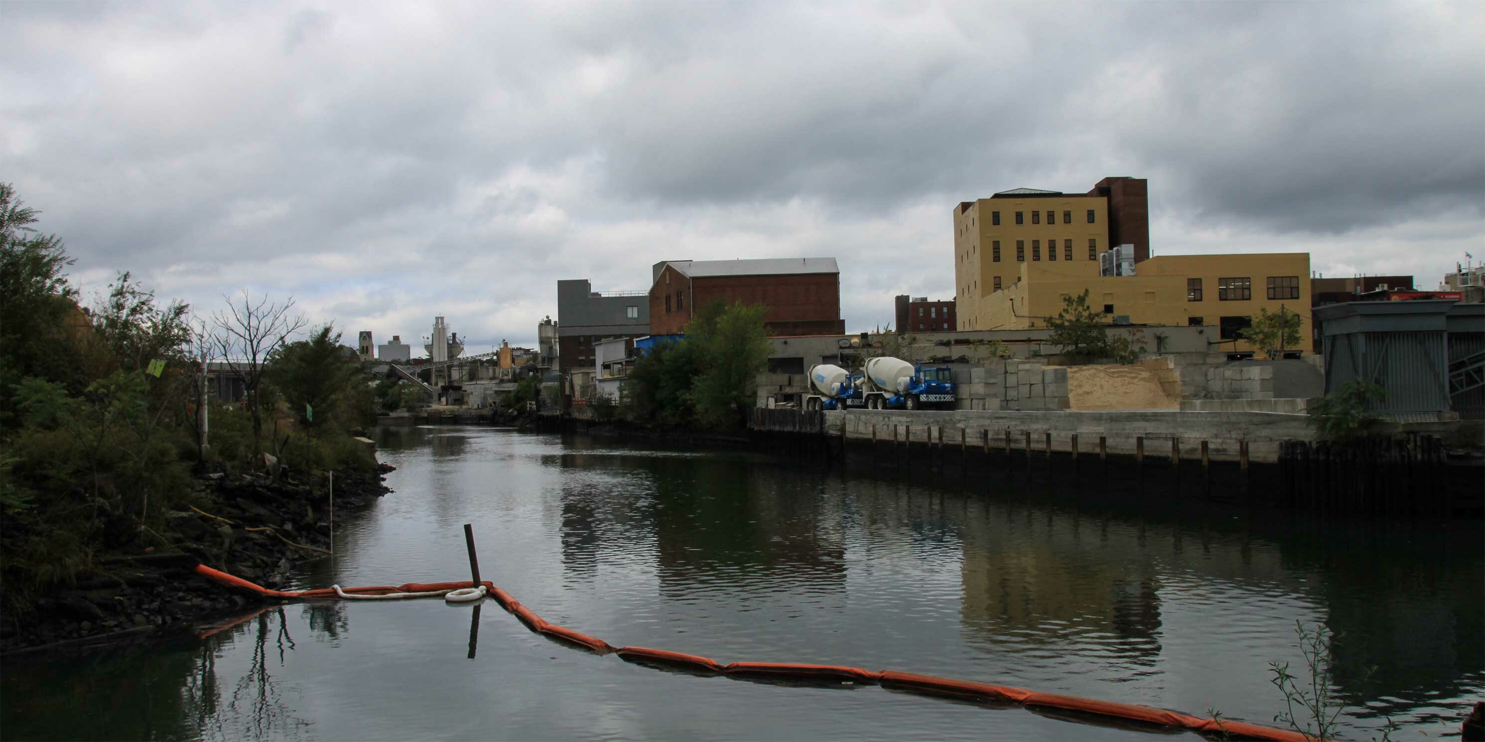
Accuracy of Development Projections
The accuracy of the development projections identified in the Draft Environmental Impact Statement (DEIS) remains a significant question. Since the Draft Scope of Work (DSOW), the Reasonable Worst Case Development Scenario (RWCDS) scenario, the maximum development expected under the rezoning, has been modified to identify a total of 63 projected and 70 potential development sites. Thirty-two percent of total new developable floor area will occur on 118 lots that comprise the 70 potential development sites. The vast majority of these sites (107 lots) would have more than 50 percent of their development rights unused after the rezoning, making them ripe for more development that will not be evaluated in the DEIS.
It is important to note that under CEQR, potential sites are not evaluated for environmental impacts. As we have shown in our previous work, potential sites and unidentified sites often get developed due to zoning lot mergers, development right transfers and additional zoning waivers and variances. For Gowanus, in addition to the 118 lots included in potential development sites, 578 rezoning lots are not identified for future development. This means that 83 percent of the lots in the rezoning area do not factor into the environmental impact evaluation. To provide the public with a more accurate forecast of future development and to avoid past miscalculations under neighborhood rezonings, the FEIS should include the full build-out analysis for all 70 potential development sites.
Stormwater Management and Environmental Clean-Up Coordination
DEP’s recently issued Unified Stormwater Rule (USR), which updates on-site stormwater management requirements citywide, will undoubtedly benefit the Gowanus area, which has historically been saddled with poor stormwater management infrastructure contributing to increased pollution in the Canal. The USR increases the amount of stormwater required to be managed on-site and restricts the release rates for all new and redevelopment projects that require a DEP or site connection. It requires sites of 20,000 sf or more and those which would increase impervious surfaces by 5,000 sf or more to manage water quality volume through the installation of detention tanks that slow the flow of discharge into the Canal. While the USR will substantially decrease CSO flows in the Canal, we believe the City can do more specifically in Gowanus to reduce present and future CSO flows and improve stormwater quality by including permeable pavement, vegetative buffers, green roofs, and other Best Management Practices within the rezoning area. We expect more details on how the rezoning would incorporate these approaches to be included in the FEIS.
Starting with the DSOW, MAS has emphasized the need for transparent and effective coordination between the City and the EPA regarding the Gowanus Canal federal clean-up. We are encouraged by the progress the EPA has made in the process thus far with dredging activities. In terms of the City’s responsibilities to improve stormwater infrastructure per the 2013 EPA Record of Decision, we are hopeful that the recently-released Administrative Order by the EPA, which sets a timetable for the City to complete the procurement of property and construction of two CSO storage tanks along the Canal, will facilitate the process. In addition, the Order should help provide the public with certainty regarding the CSO sewer infrastructure construction schedule.
The FEIS should summarize how the City will meet the EPA’s requirements with future development under the rezoning in mind, including how the improvements will ensure that developers comply with municipal stormwater regulations within the Gowanus area to prevent sewer volume from impairing the effectiveness of the new tanks, provide treatment for separated stormwater discharges, perform monitoring of sewer discharges to ensure protection during dredging, perform associated maintenance dredging if needed, and construct a bulkhead on City-owned property to prepare for the second phase of dredging.
Open Space
The pandemic has magnified the importance of quality accessible open space. Currently, the Gowanus neighborhood is grossly underserved. As proposed, the WAP promises an integrated waterfront open space plan, connecting a new public park on the city-owned Public Place to the future waterfront esplanades along the Canal. We question how the City will ensure that private developers build quality waterfront space that provides continuity and is planned comprehensively. The new 1.5-acre public park is a key component of an open space network meant to provide passive and active open space for current residents as well as the estimated 6,500 new workers and 20,000 new residents. DCP must disclose who is funding the construction, maintenance, and programming of the 1.5-acre public park as part of Gowanus Green, especially in light of the recent city budget cuts that led to a 14 percent decrease in park funding. As we have seen with the 2004 rezoning of Downtown Brooklyn and the problems associated with funding for Willoughby Square Park, relying on private development to fund and create public parks is fraught with complications. Willoughby Square Park only recently went through a public approval process, sixteen years after it was celebrated as a central component of the Downtown Brooklyn rezoning plan. We expect the FEIS to provide more clarity on how the proposed new park will be financed and constructed.
NYCHA
We are disappointed that the Gowanus rezoning boundary has not been changed to include the three adjacent NYCHA campuses. If this rezoning is to be equitable, comprehensive, and benefit all residents of the neighborhood, DCP must work with NYCHA residents to incorporate the campuses into the rezoning proposal, in addition to coordinating the rezoning with the existing NextGeneration NYCHA goals. In addition to the NextGeneration NYCHA project planned for Wyckoff Gardens and the PACT-RAD conversion for 572 Warren Street, the City must disclose whether there are plans for additional funding for the NYCHA campuses in Gowanus. Our support of the rezoning depends on a commitment by the City to fund needed upgrades at the nearby NYCHA campuses. Moreover, as stated in our DSOW comments, we support Pratt’s assertion of transferring development rights from NYCHA properties within the rezoning area to generate resources to close the $237 million capital funding gap at these three complexes. Additionally, a similar concept of selling development rights to fund infrastructure was done for the East Midtown rezoning. If not included, DCP must, at a minimum, disclose information concerning the choice not to pursue this funding approach for NYCHA improvements.
Southwest Brooklyn IBZ
We are discouraged to see that the DEIS still excludes the Southwest Brooklyn Industrial Business Zone (IBZ) from the primary and secondary study areas, leaving potential impacts of the proposed land use actions on this vital employment center unevaluated and unmitigated. The DEIS should include a comprehensive study of the potential impacts of the proposed land use changes on the IBZ. In response to concerns and feedback from business owners in the IBZ and the Southwest Brooklyn Industrial Development Corporation (SBIDC) on the DSOW, DCP in May released the Gowanus Industrial Business Zone Vision Plan. Although the vision plan outlines improvements and identifies opportunities for infrastructure improvements and workforce development, it is a guide that offers optional strategies, not a codified land use plan supported by explicit commitments from the City.
Public Engagement
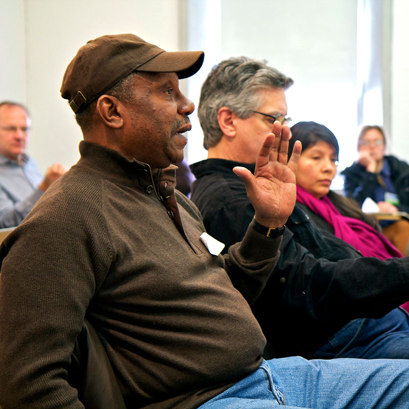
Effective public engagement is critical to any large-scale neighborhood rezoning. However, the pre-certification ULURP public meetings organized by the Department of City Planning (DCP) in late 2020, offered little new information, and thus were an unfortunate missed opportunity to effectively engage with the community during the pandemic. Participants voiced frustration about the lack of details provided, especially regarding critical infrastructure needs magnified by the pandemic. Prior to these meetings, we urged the City to encapsulate input from these meetings in a report in advance of the DEIS release and ULURP certification. This was not done. Without that report, it is difficult to determine the efficacy of the engagement effort and the degree to which the DEIS responds to critical community feedback. We urge the City to include a summary of the critical input from these meetings in an appendix in the FEIS.
DEIS Technical Issues
On a technical note, information provided in the DEIS must be more accessible and complete for public review. Land use and zoning information in the DEIS is limited to only lots included in the RWCDS. With a font size of 3, the tables in Appendix A-1 with information on all lots included in the RWCDS are extremely difficult to read and exclude rezoning lots that are not part of the development projections (578 out of 836 lots included in the plan). The tables in Appendix A-2, listing all lots included in the rezoning area, identify the majority of lots by block groupings, preventing easy analysis of existing or future conditions on lots not included in the RWCDS (70 percent of lots affected by proposed zoning changes). Additionally, the same tables include at least 20 outdated lot numbers along the 4th Avenue corridor. We expect FEIS to improve upon these items.
Conclusion
We recognize the substantial undertaking and unique challenges the rezoning poses for the City. The myriad environmental regulatory considerations and agency coordination with the ongoing federal clean-up process is unlike any other neighborhood rezoning. However, the City must improve transparency, coordination, and public outreach and the other critical issues included here for this rezoning to provide the public and the decision-makers with adequate information for this process to overcome its existing flaws.

Become a member to enjoy discounts to events and tours.
Learn about membershipRelated Initiatives
Supporting New Yorkers to become stronger advocates for their neighborhoods
Related News + Reports